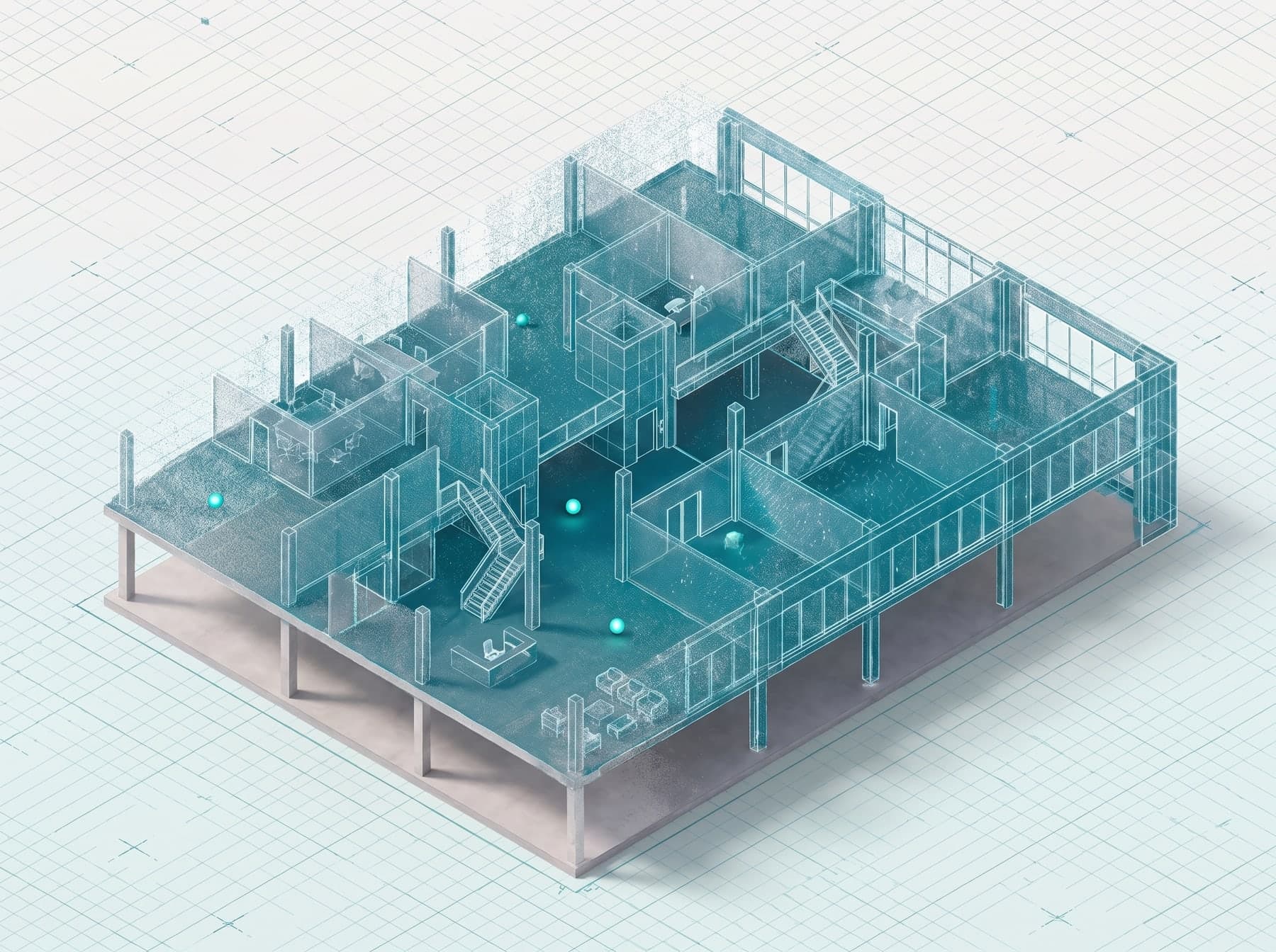
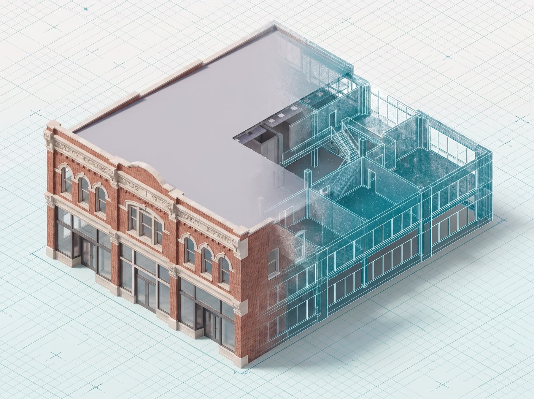
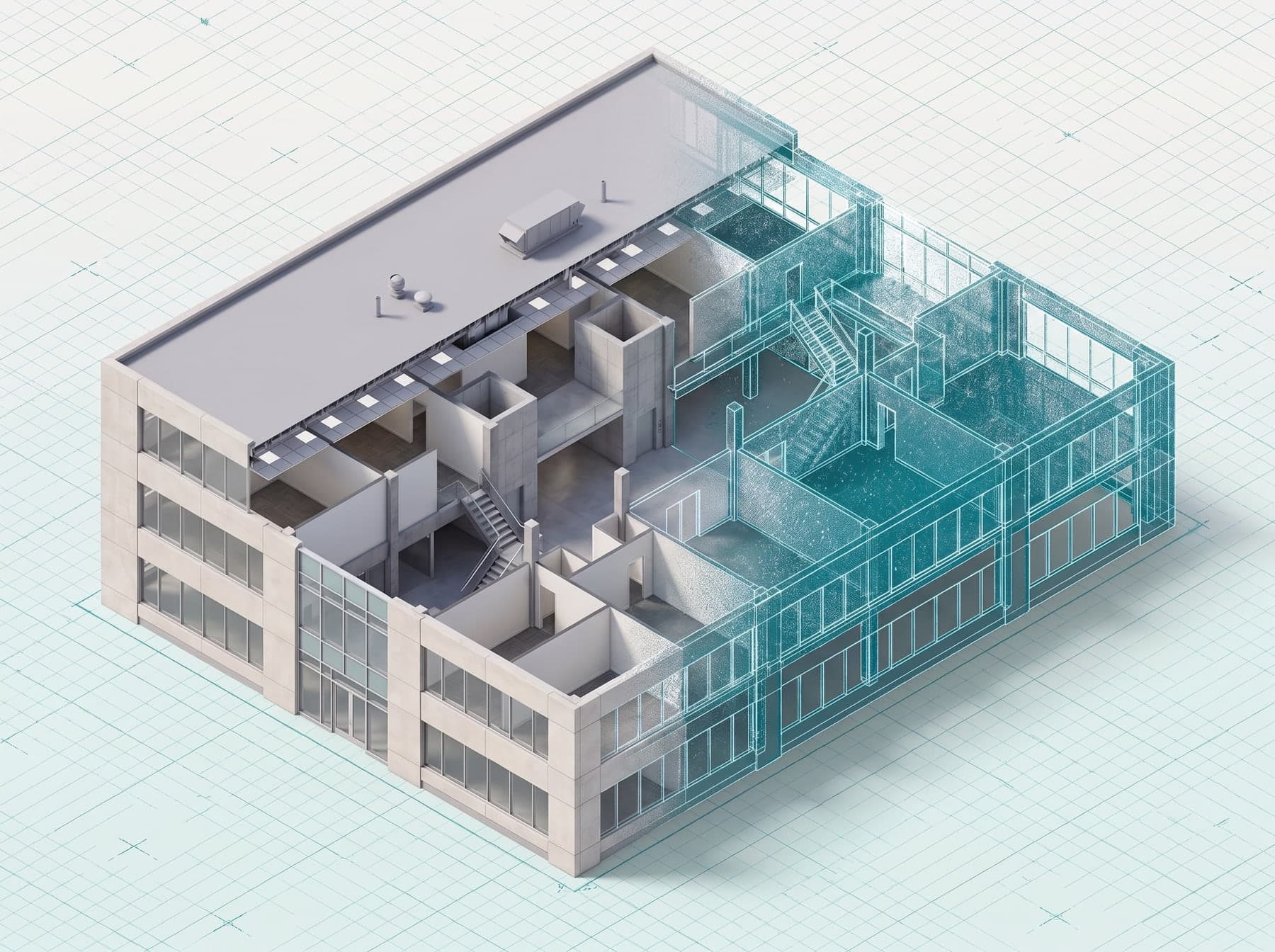
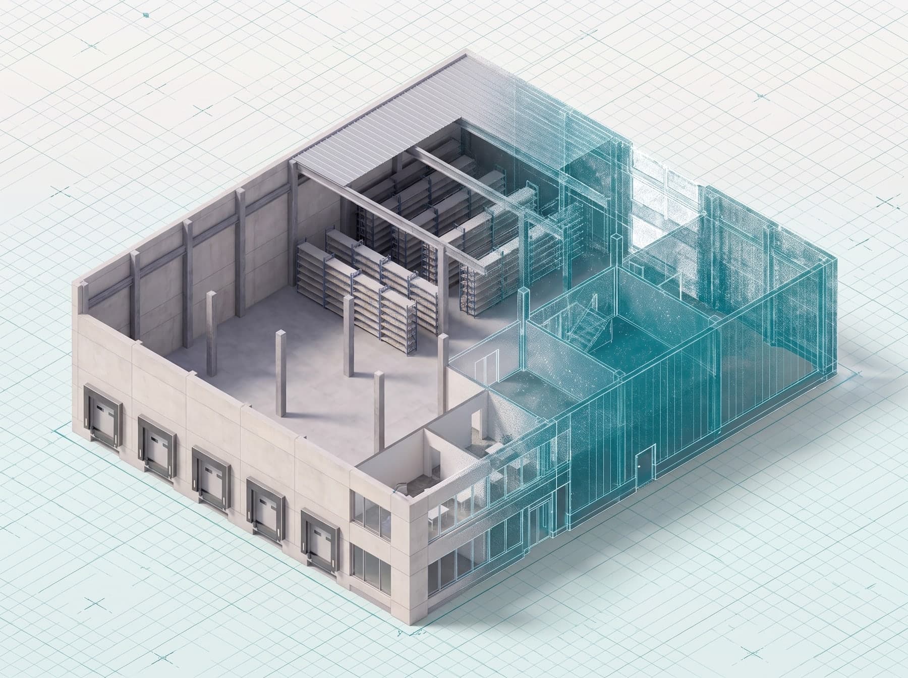
An unfinished concrete floor that turns into a teal LiDAR point cloud
About us

3D laser scanning &as-built documentation.

High-quality, fairly priced 3D laser scanning and reliable as-built documentation for design, facility, construction and commercial real estate teams across Dallas–Fort Worth.

Accuracy on every scan
±¼″
Sites completed
100+
Business-day delivery
5–10
Hands-on construction
14 yrs
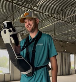
Tyler Hoskins holding a handheld LiDAR scanner in an unfinished commercial building
Meet our founder

Built by someone who’s been on site.

I’m Tyler Hoskins, founder of Hos-Scans.

For fourteen years I worked in construction and facility management. And for fourteen years I watched the same problem repeat itself: teams making decisions based on drawings that didn’t match reality.

I’ve seen what those documentation gaps cost — renovation projects derailed, contractors forced to bid blind, property transactions complicated by square footage discrepancies. The list goes on.

LiDAR scanning can eliminate those problems by making accurate documentation accessible to the teams who need it most. That’s why I started Hos-Scans.
“Every building tells a story. My job is to document it accurately, so your team has the information it needs to make smart decisions.”
— Tyler Hoskins, Founder
Our mission

Accurate, verified documentation for every team.

Our mission is to give every project team access to accurate, verified building documentation.

Accuracy matters, and documentation should be accessible — you shouldn’t need specialized software to view your own building’s data. We’ve seen firsthand how LiDAR scanning can help teams deliver successful projects, and that’s what we’re here for.

Eliminating the guesswork that causes

  • Project delaysDelivered in 5–10 days
  • Disputes±¼″ verified record
  • Expensive surprisesConditions field-verified
  • ReworkDrawings you can build from
Why Hos-Scans

Why teams choose us.

There are other scanning companies out there, but none of them do exactly what we do.

#01

14years on site

Field experience, not just tech skills

I’ve been on the other side of the documentation problem, so I know what it’s like to open a set of drawings and wonder if they reflect reality. We deliver what your team actually needs, not impressive-looking data points.

#02

DFWbased & local

Local, with a personal service

We’re a Dallas–Fort Worth company. When you call, you speak directly to me — and I’m often the one who shows up on site. You’re a neighbor, not a ticket number in a national queue.

#03

100%guaranteed

Practical deliverables, every time

Dimensioned drawings and reports formatted for your specific needs, so your team can use them straight away and get it right the first time. Need something different? We’ll figure it out together.

#04

$0surprise bills

Transparent communication

You’ll know exactly what a project costs and what’s happening while we work. No surprise bills, no confusing jargon.

How we work

Four boxes we tick on every project.

When it comes to how we approach every project, there are a few things we always do.

  1. 01

    Every measurement matters

    We verify our work against source data before delivery — and under our 100% satisfaction guarantee, we’ll make it right if it doesn’t meet your requirements.

    Verified before delivery
  2. 02

    We respect your time

    We show up when we say we will, work efficiently on site and deliver when promised.

    On time, on site
  3. 03

    Data should be usable

    Accurate data is worthless if nobody can use it, so we deliver in formats your team already works with — and support you when you have questions.

    Your formats
  4. 04

    Honest guidance

    We’ll tell you if a service isn’t right for your project, or suggest a simpler option if there is one.

    Straight answers
Technology

Professional-grade equipment, survey‑grade results.

We invest in the best scanning technology available — equipment used and trusted by surveyors, architects and engineers worldwide.

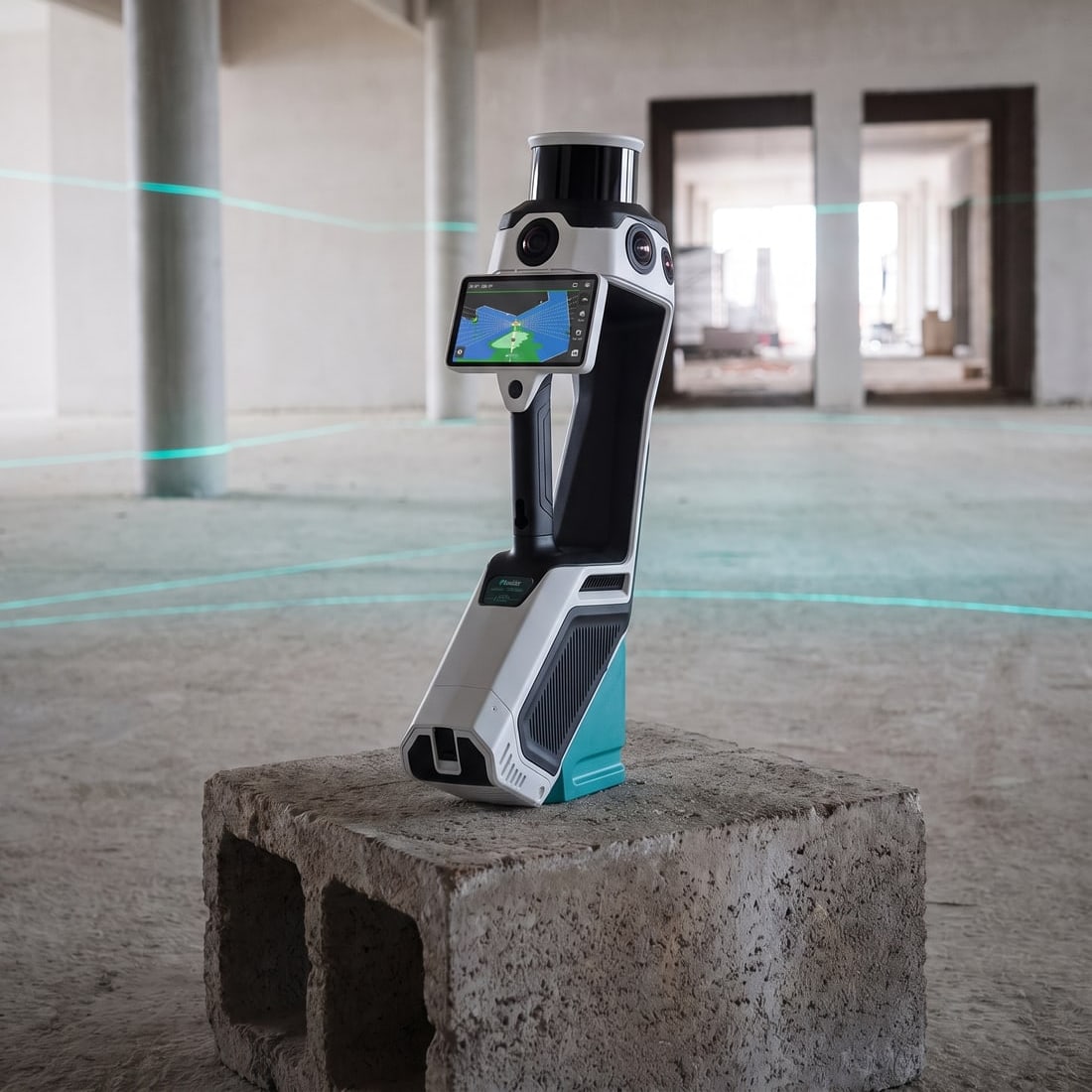
NavVis MLX mobile scanner in an unfinished commercial buildingMobile scanner

NavVis MLX

A mobile LiDAR mapping system that captures point cloud data and 360° panoramic imagery simultaneously — ideal for efficiently scanning large commercial spaces.

Capture
Mobile, walk-through
Coverage
Up to 300,000 sq ft / day
Imaging
Integrated panoramic cameras
Accuracy
±5 mm
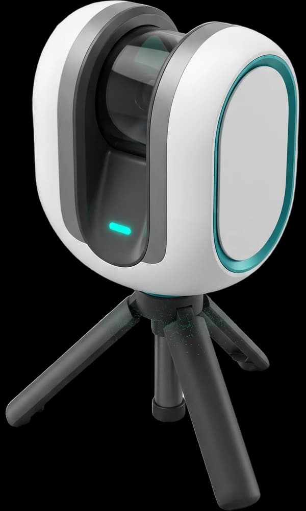
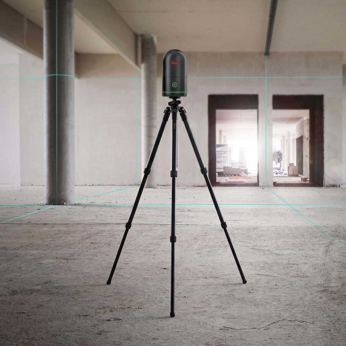
Leica BLK360 scanner on a tripod in an unfinished commercial buildingTerrestrial scanner

Leica BLK360

Our precision terrestrial scanner for detail-critical spaces — complex MEP environments, historic preservation and other high-precision work that needs full-dome imagery.

Capture
Static, tripod
Imaging
Full-dome HDR
Footprint
Compact, unobtrusive
Accuracy
±5 mm
01 / 02

Processing & delivery — in the order your data moves

01RegisterCyclone Register 360Point cloud processing
02ShareNavVis IVIONVirtual access
03DraftAutoCADDrawing production
04ModelRhino3D modeling
05RenderLumionRendering
01 / 05
DallasFort WorthFriscoGarlandMesquiteLewisvilleMansfieldAllenBurlesonDeSotoFlower Mound2222222234524
Office · 18383 Preston Rd, Dallas
Areas we cover

Based in Dallas, serving all of DFW.

From our base in Dallas we serve the entire Dallas–Fort Worth metroplex and surrounding areas.

Primary service areas · miles from our office

  1. Richardson5 mi
  2. Plano6 mi
  3. Garland11 mi
  4. Frisco11 mi
  5. Dallas15 mi
  6. McKinney17 mi
  7. Denton25 mi
  8. Arlington25 mi
  9. Fort Worth35 mi

Beyond DFW?

We’re often called to other parts of Texas for larger projects. Get in touch to discuss a project outside the DFW area.

Discuss a project
Square feet documented
5M+
Projects completed
200+
Field experience
14 yrs
Satisfaction guarantee
100%
Typical turnaround
5–10 days
FAQ

Questions about working with us.

Can’t find your answer? Talk to Tyler directly — you’ll get a straight answer from the person who’ll scan your building.

Talk to Tyler

Founder · answers every call

As-built documentation, DIM plans & elevations, modeling & rendering, and digital deliverables with virtual site access — all produced from LiDAR scanning for construction planning, commercial real estate, design and project management.

Get in touch with your building details and timeline and we’ll confirm the earliest available scan date with your quote. Expedited 24–72 hour delivery is available after scanning for urgent projects.

Our focus is commercial property, but we also document residential and historic buildings. Tell us about your project and we’ll let you know if we’re the right fit.

From single suites to large multi-building sites. Our NavVis MLX can scan up to 300,000 sq ft in a day, and most commercial projects are completed in one site visit.

Yes — browse our case studies, or ask for sample deliverables relevant to your project when you request a quote.

Members of & partners with

  • Wylie Historical SocietyWylie Historical Society
  • AIA Dallas Allied MemberAIA Dallas
  • Melissa Historical SocietyMelissa Historical Society
  • Historical Hos-Scans — preserving the past through precisionHistorical Hos-Scans
  • Space Planning SpecialistsSpace Planning Specialists