LiDAR point clouds · Dallas–Fort Worth

Digital deliverables &virtual access in DFW.

Point cloud data and virtual access in formats your team can use. LiDAR point clouds in .RCP, .E57, .LAS, .PLY and .DWG, ready for BIM integration — with complimentary remote access to every scanned space.

.RCP · .E57 · .LAS · .PLY · .DWG
5 formats
Virtual site access
Included
Revit, AutoCAD, Navisworks
BIM-ready
Verified accuracy
±5 mm
The problem

Every site visit costs you time.

Remote teams, BIM coordination, clash checks — a project keeps asking the building questions long after the scan crew leaves.

How one site question grows

  1. 01A scan answers it hereOne site questionA clearance, a pipe run, a ceiling height nobody drew.
  2. 02Someone drives outAnother site visit to measure or photograph it.
  3. 03Photos miss the detailThe one condition you need wasn’t captured.
  4. 04Back out againAnother trip, another week waiting on answers.
  5. 05Decisions stallDesign, coordination and approvals all wait on the site.

Answer it at step 1.

A registered point cloud plus virtual site access puts the whole building on every screen — measure, model and check conditions without another trip.

Get your quote
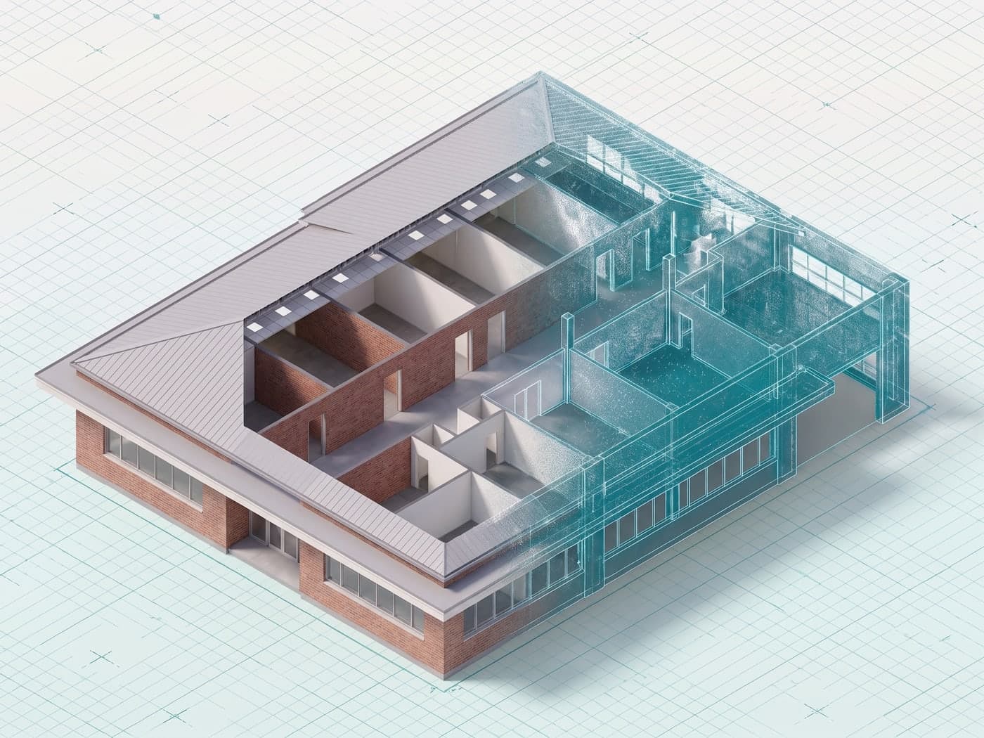
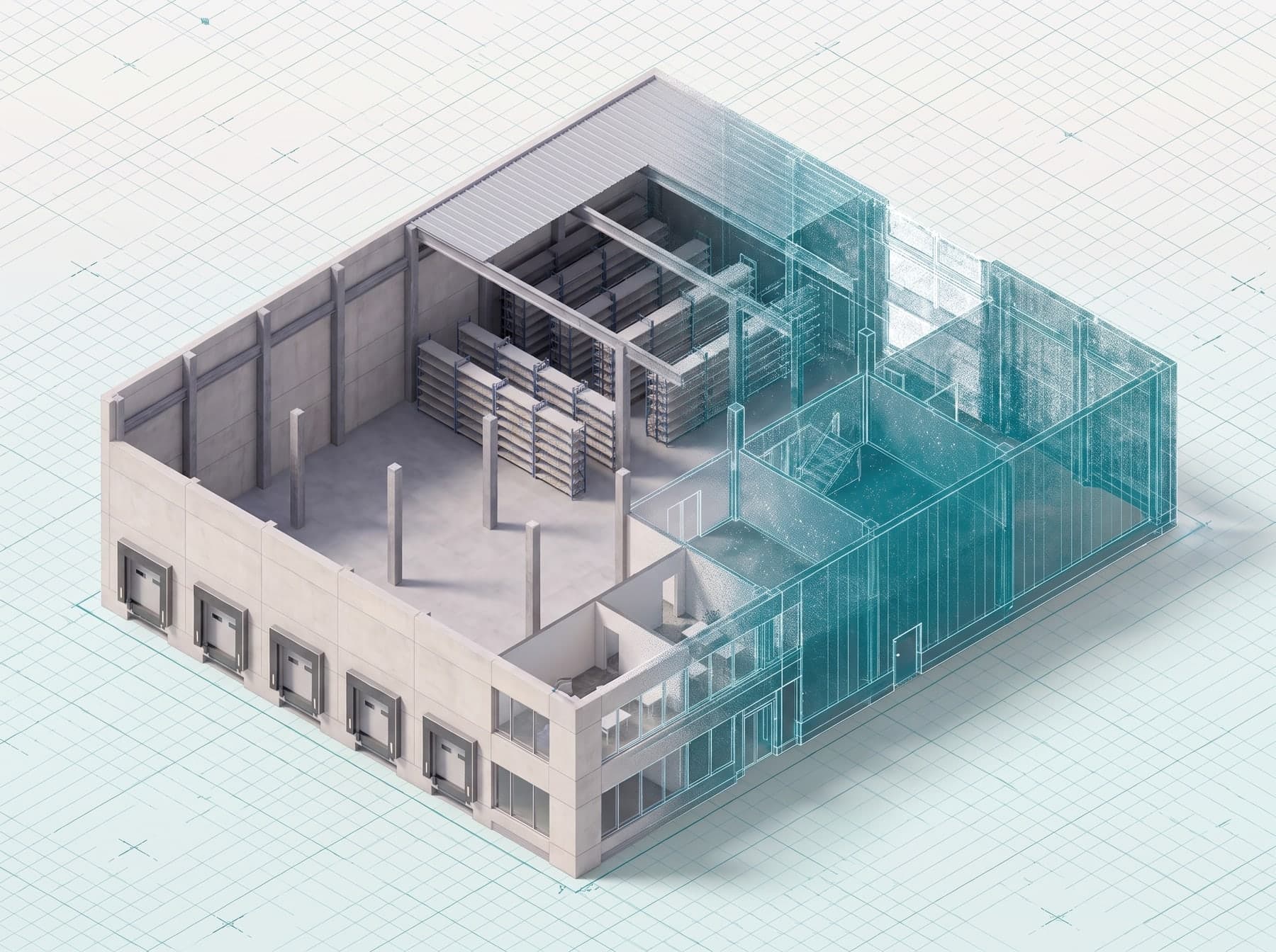
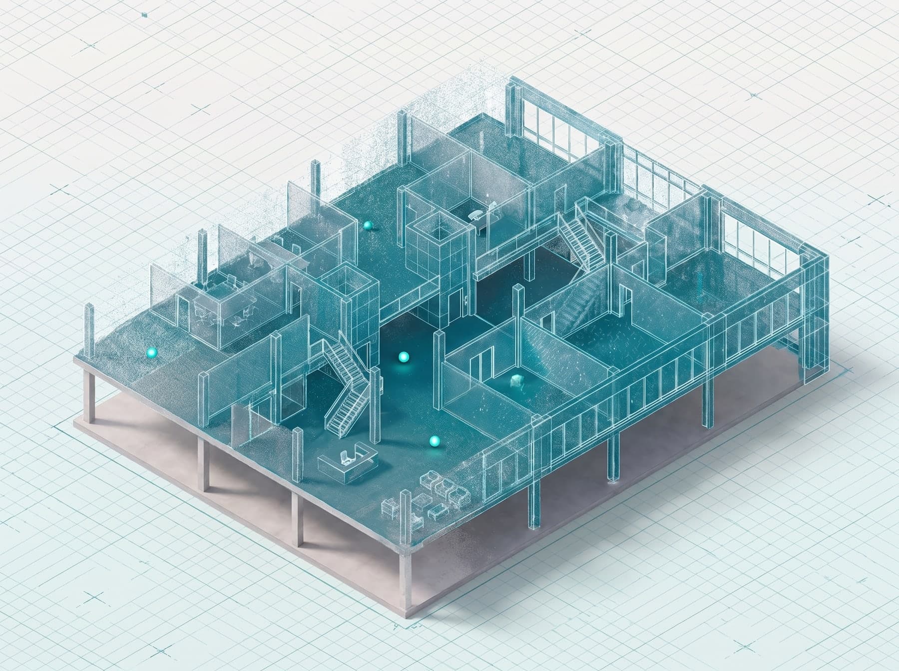
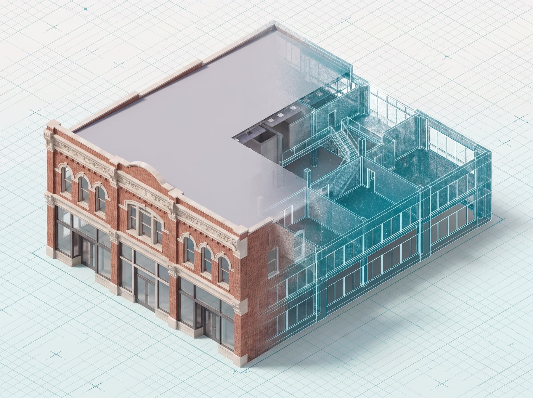
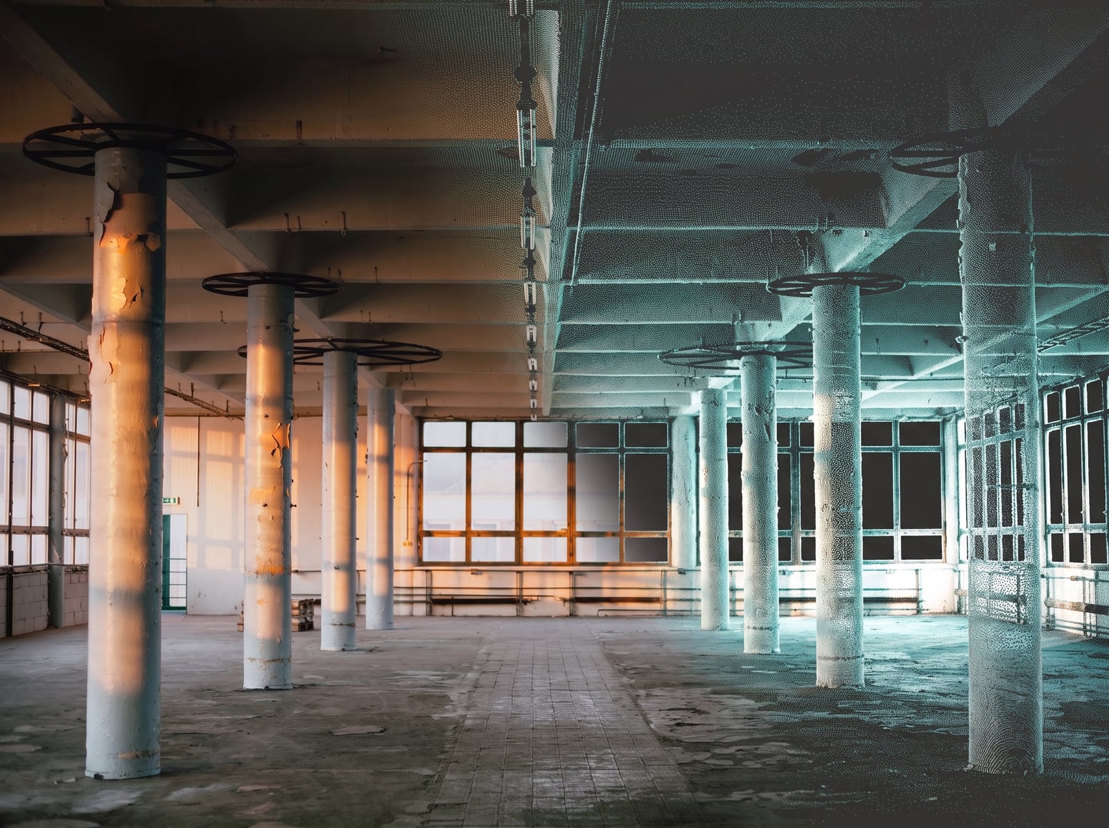
An industrial interior that dissolves into its LiDAR point cloud
  • ±5 mm source data
Our approach

The raw data, ready to use.

Drawings and reports only show what someone chose to draw. Our digital deliverables give you the verified spatial data itself — registered, cleaned LiDAR point clouds your team can measure, model, analyze and collaborate on.

Files arrive in the formats your software already reads, ready for Revit, AutoCAD, Navisworks or Rhino, and every project includes complimentary NavVis IVION access so anyone can walk the space from a browser.

  1. 01RegisteredScans aligned & cleaned
  2. 02FormattedFor your software
  3. 03SharedVirtual access included
Use cases

Who our digital deliverables are for.

Digital deliverables serve different purposes depending on where you are in the project lifecycle and what tools your team uses. They’re ideal for commercial buildings, retail spaces, warehouses, offices and mixed-use facilities.

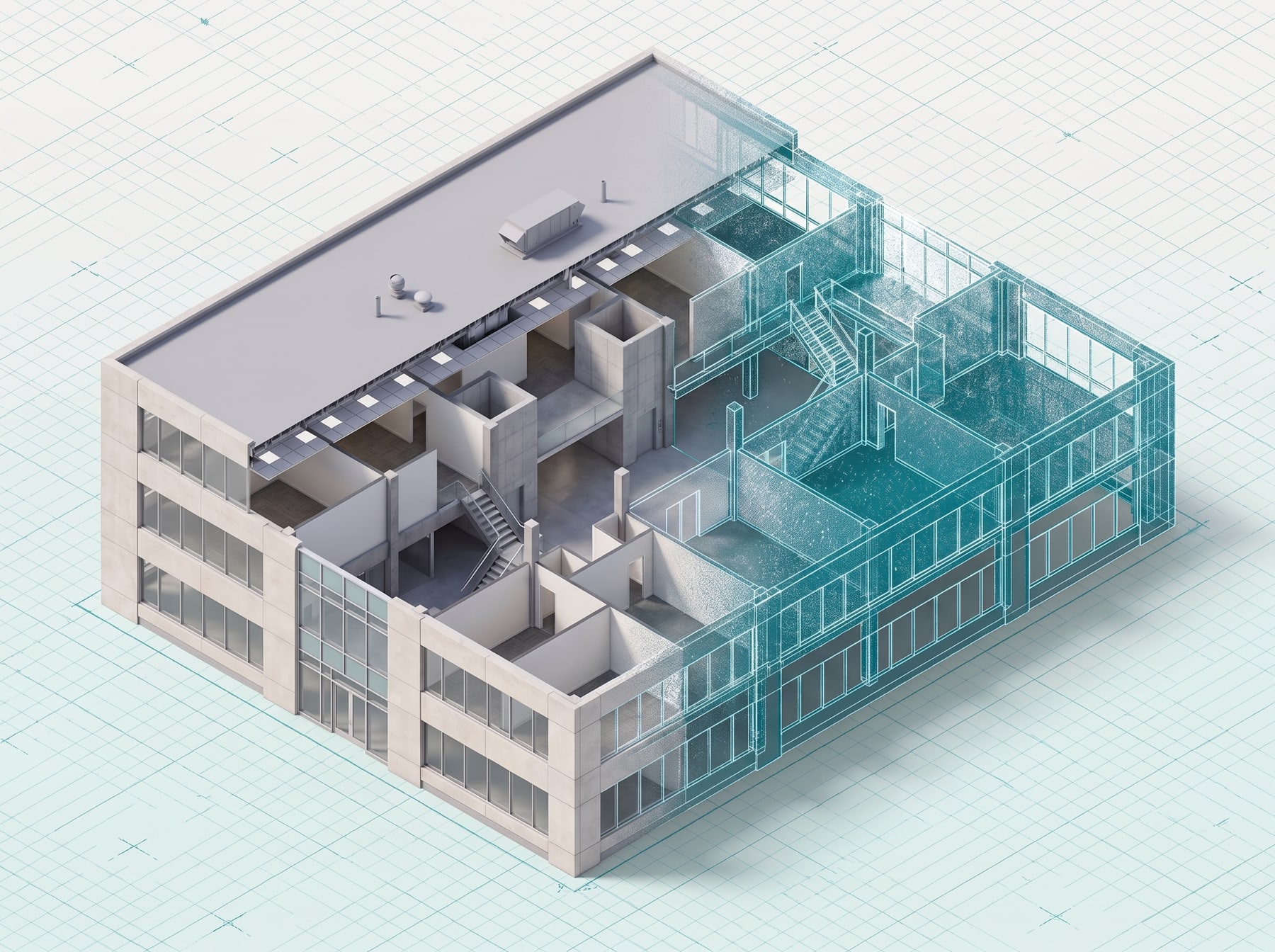
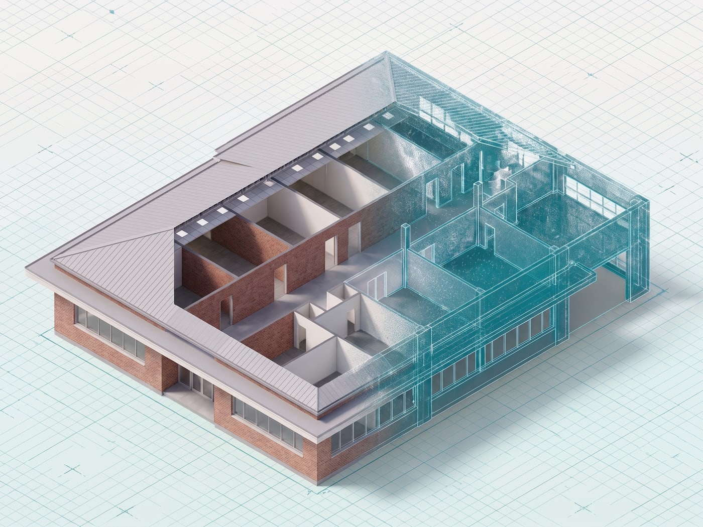
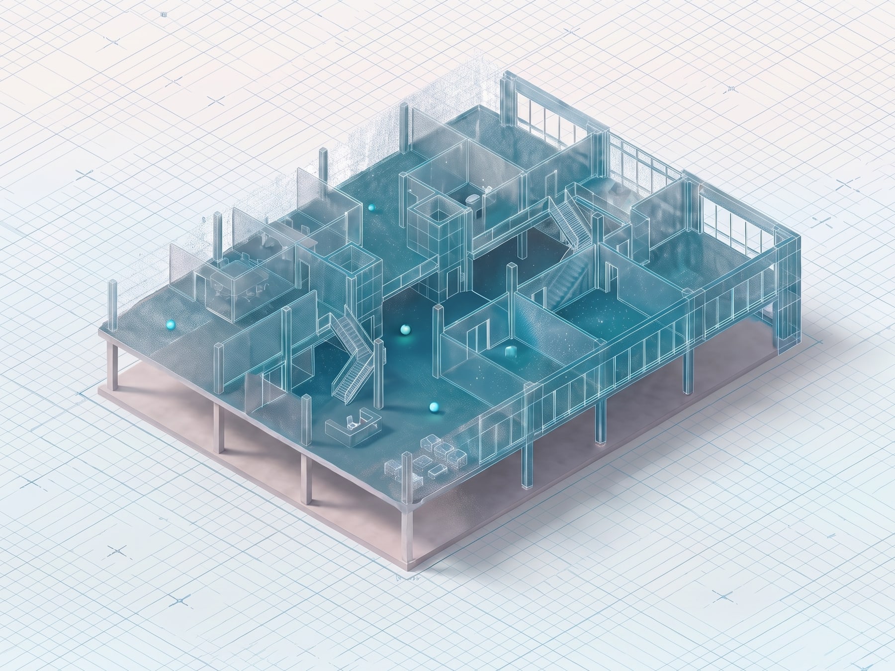
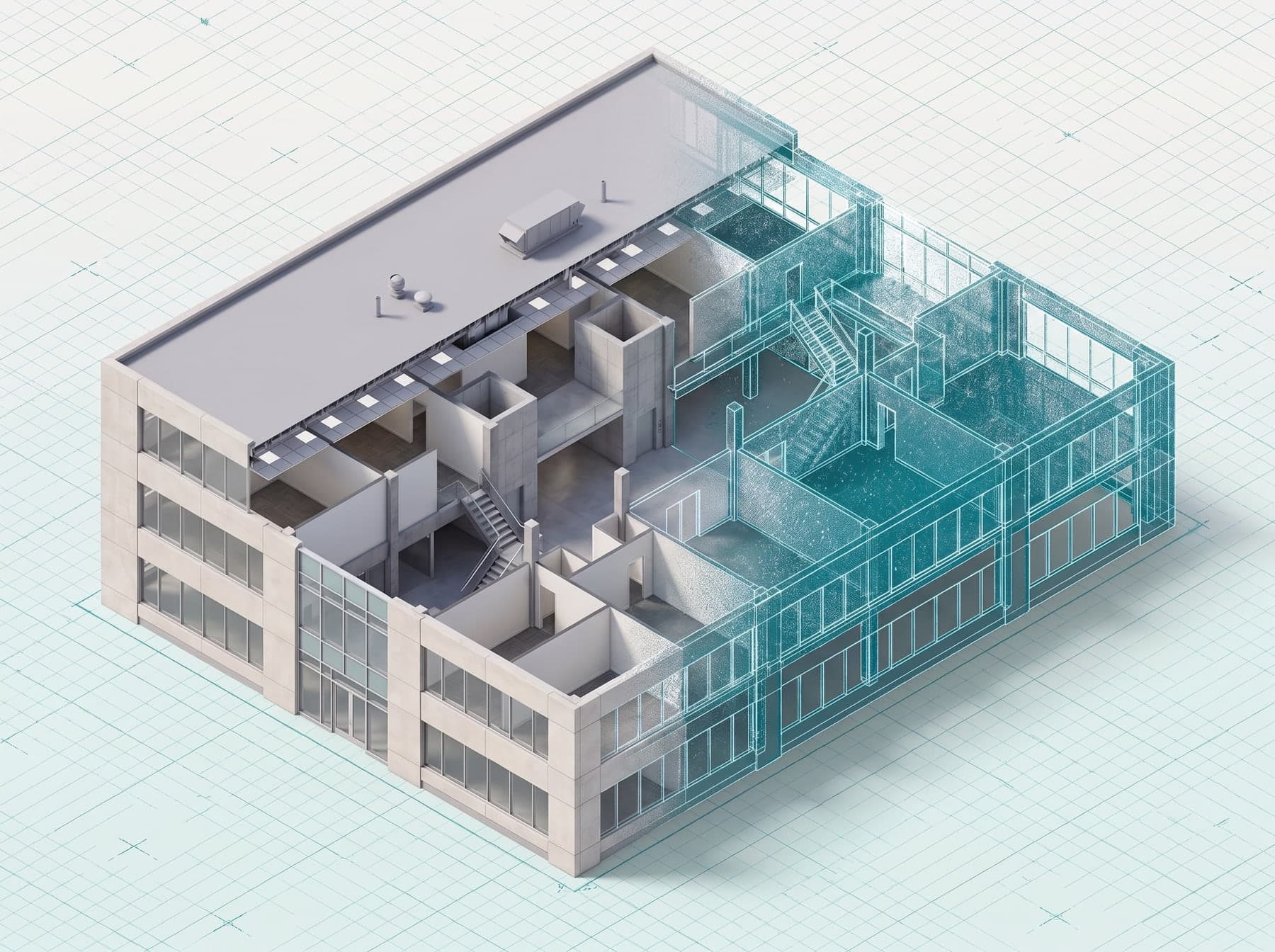
3D cutaway of a commercial building from point cloud data

BIM modeling & integration

Revit · Navisworks · clash checks

Design and construction teams use point cloud data as the foundation for BIM models — imported directly into Revit or linked through Navisworks for clash detection and coordination.

  • Scan-to-BIM modeling
  • Existing conditions verification
  • Clash detection workflows
  • Design coordination

Mid-century office building as a 3D scan model

Remote collaboration

Multi-office · consultants · clients

Architects in one city, engineers in another, stakeholders elsewhere — everyone explores the same scanned space without travel.

  • Multi-office project teams
  • Client presentations
  • Consultant coordination
  • Remote decision-making
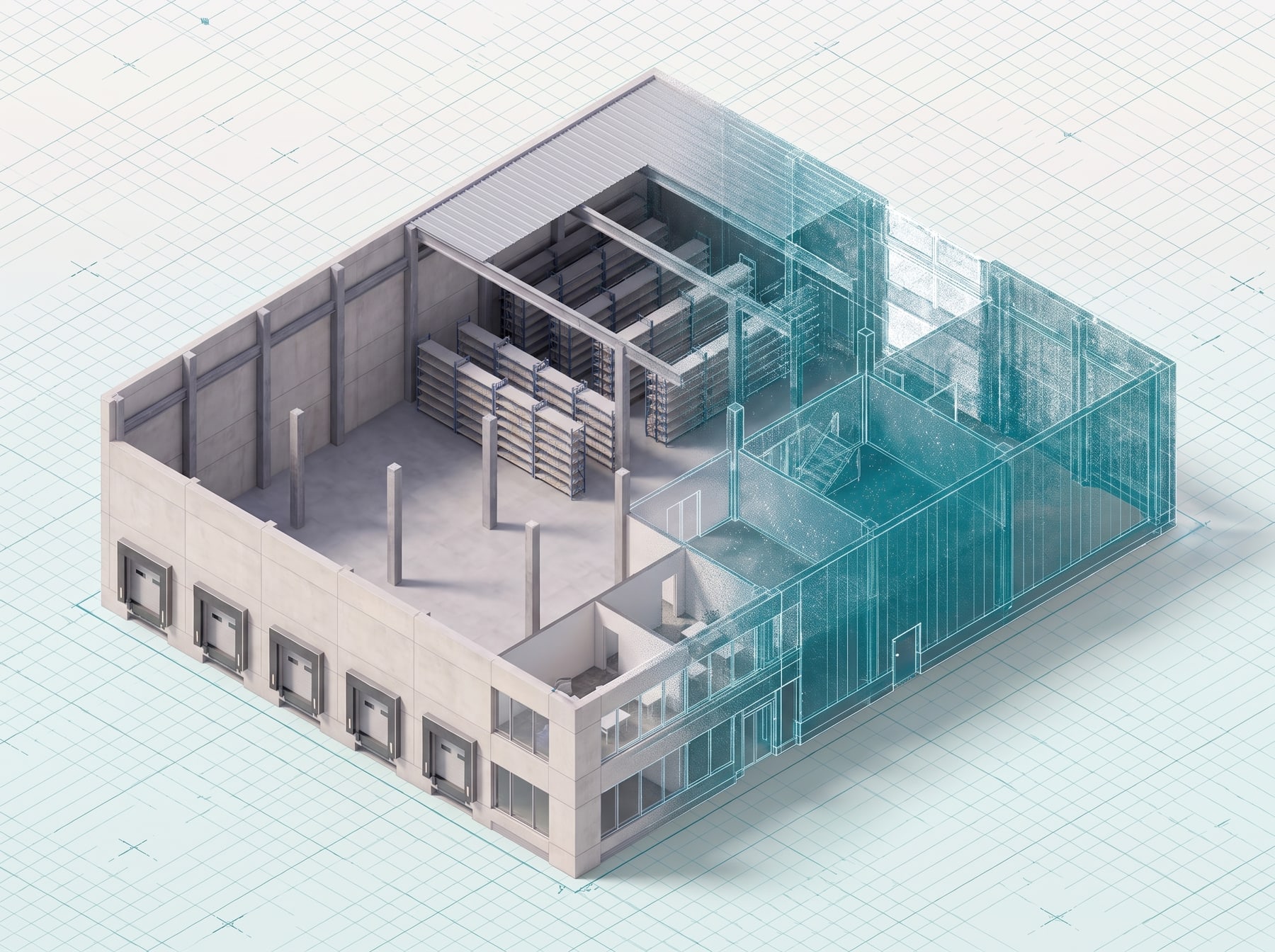
Warehouse with loading docks as a 3D scan model

Measurement & analysis

Takeoffs · clearances · deviation

Need measurements without full drawing production? Extract dimensions, calculate areas and verify conditions straight from the point cloud.

  • On-demand detailed measurements
  • Quantity takeoffs
  • Clearance verification
  • Space, deviation & deformation analysis
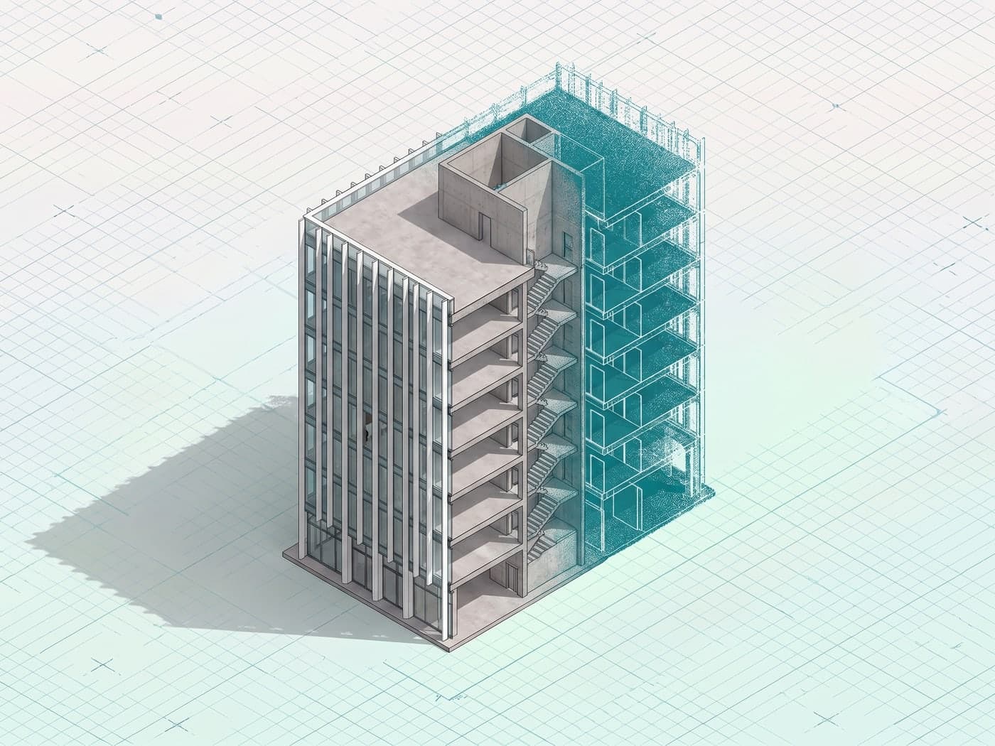
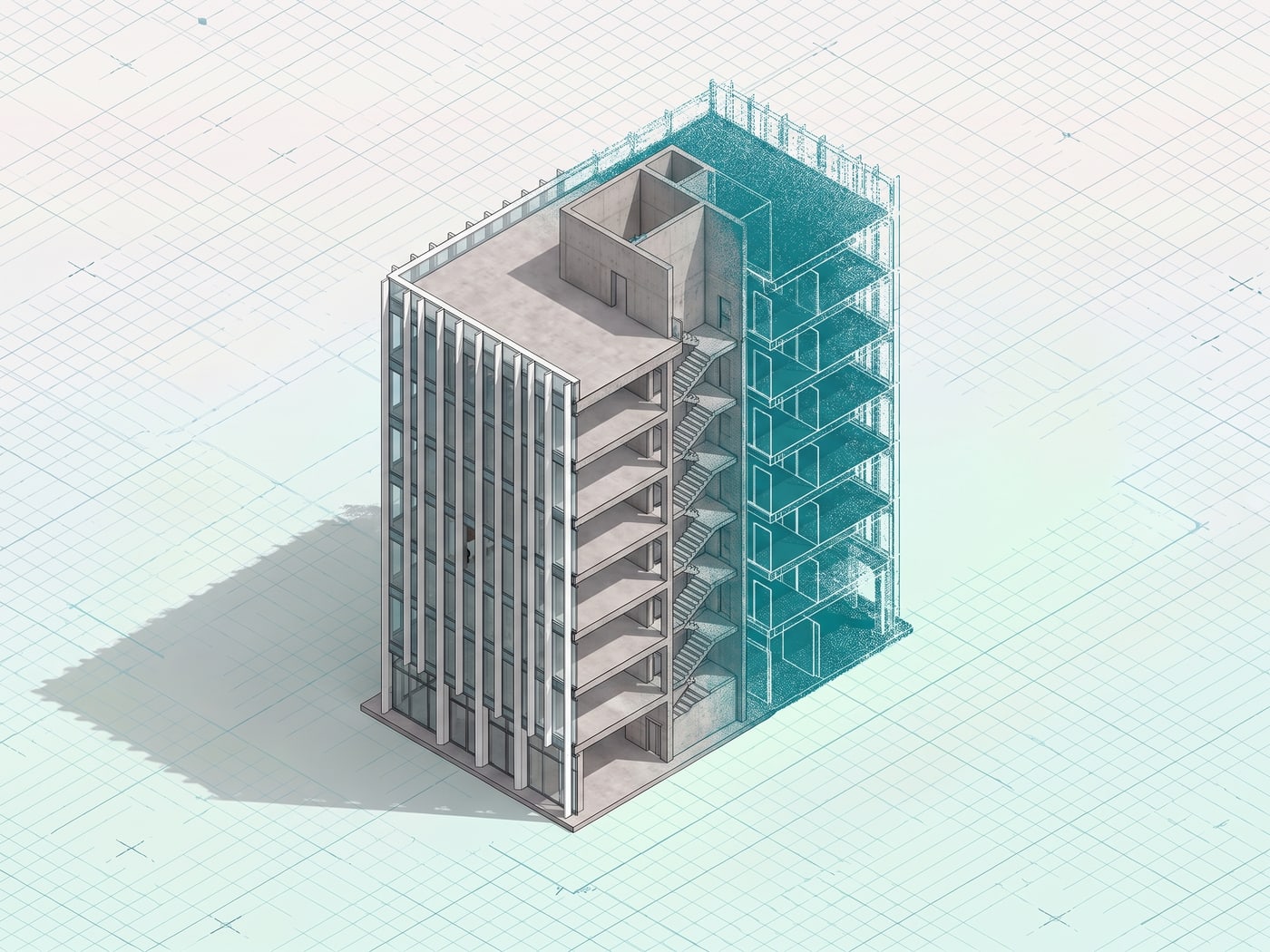
Office tower with tenant suites revealed as a 3D scan model

Documentation & archival

Baselines · insurance · heritage

For owners and facility managers, a point cloud is a complete digital record of existing conditions at a point in time.

  • Baseline documentation
  • Condition assessment records
  • Historical preservation archives
  • Insurance documentation
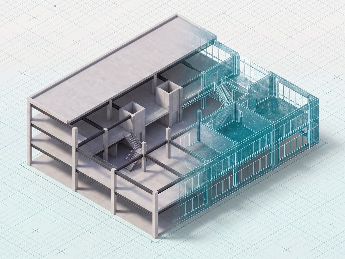
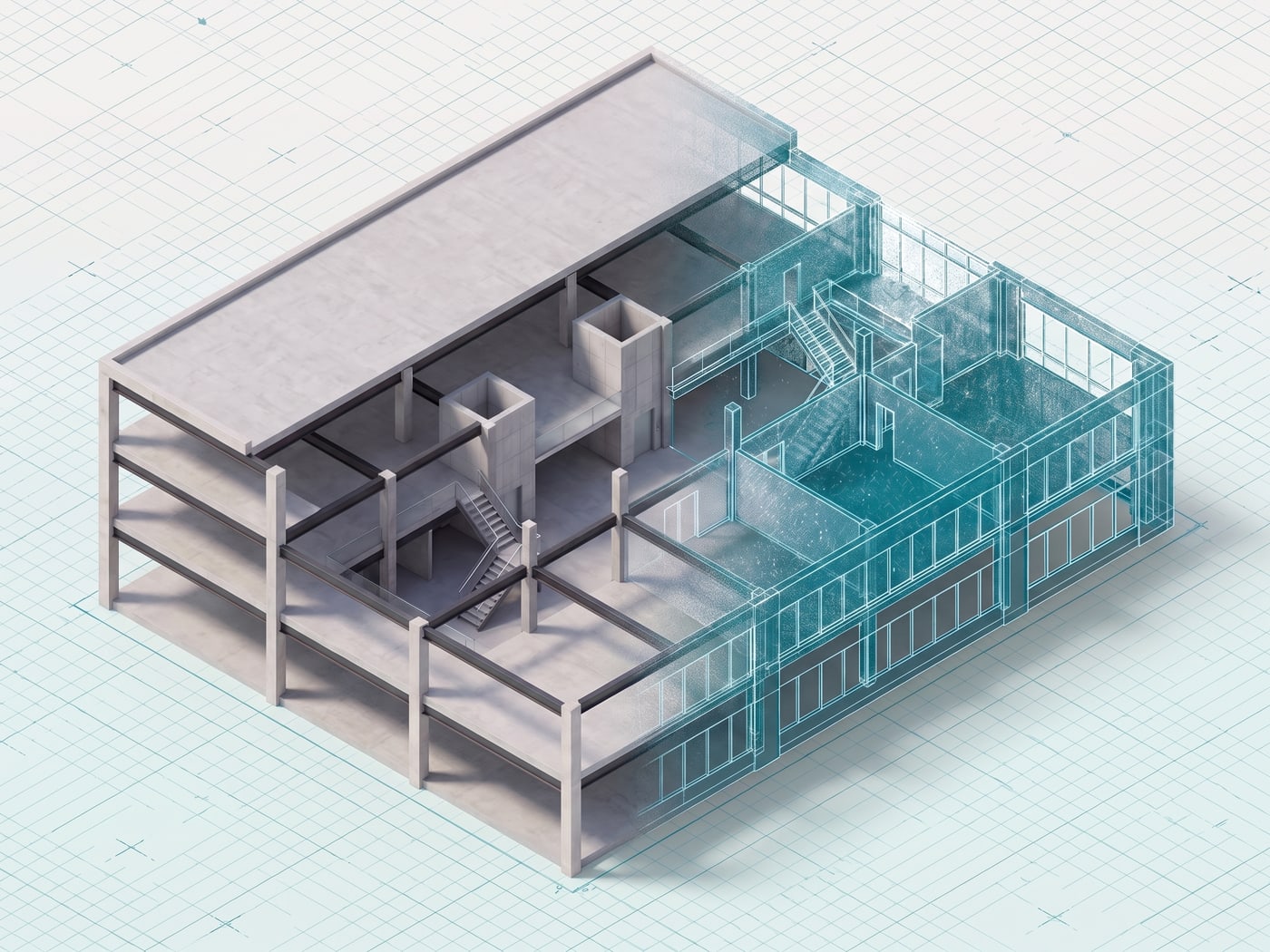
Bare structural frame of a building as a 3D scan model

Construction verification

Progress · QA · prefab

Contractors compare what was built against design intent, verifying as-built conditions against what was specified.

  • Progress documentation
  • Data quality control verification
  • As-built record creation
  • Prefabrication validation
01 / 05
Our process

Designed for accuracy and efficiency.

Most projects are delivered in 5–10 business days, with expedited 24–72 hour delivery for urgent projects.

  1. 01

    Quote & scope

    We discuss your goals, required deliverables and timeline, then provide a clear quote with no hidden fees.

  2. 02

    Site scanning

    Our team arrives with NavVis and Leica equipment. Most spaces are scanned in a single visit, with no extended disruption.

  3. 03

    Processing & QC

    Captured data goes through quality control: we verify accuracy, check completeness and flag anything that needs a second look.

  4. 04

    Deliverable production

    We convert point clouds into your requested as-built drawings, models, measurements, virtual access — or a combination.

  5. 05

    Review & handoff

    We walk you through the deliverables, confirm they have the detail your project needs, and answer any questions.

Standard delivery: 5–10 business daysUrgent? Expedited 24–72 hour delivery.

Technology

Captured with survey-grade LiDAR.

Our digital deliverables come from professional 3D laser scanning and advanced LiDAR processing — high-density data trusted by surveyors, architects, engineers and contractors, at ±5 mm accuracy.

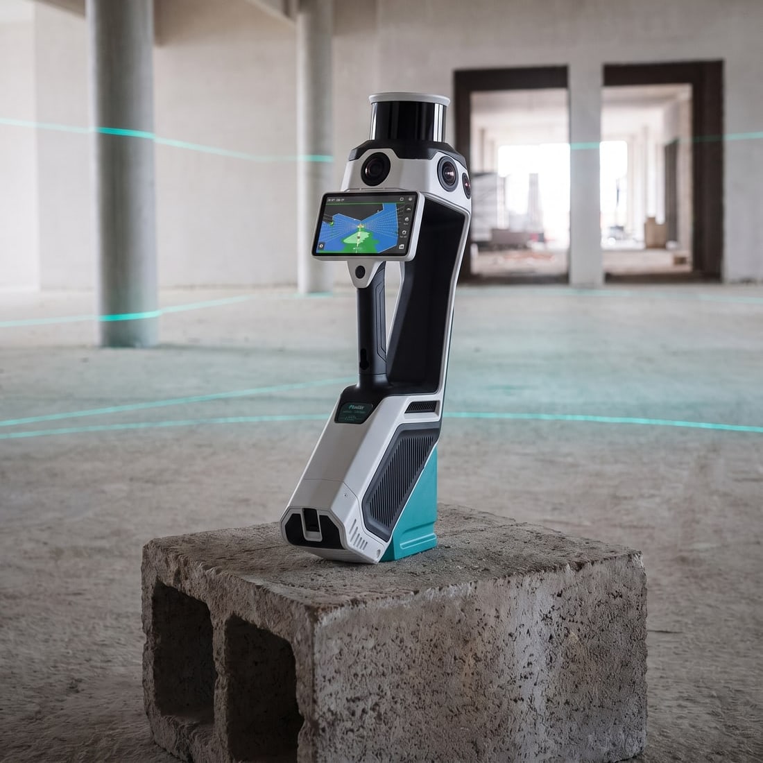
NavVis MLX mobile scanner in an unfinished commercial buildingMobile scanner

NavVis MLX

A mobile LiDAR mapping system that captures point cloud data and 360° panoramic imagery simultaneously — ideal for efficiently scanning large commercial spaces.

Capture
Mobile, walk-through
Coverage
Up to 300,000 sq ft / day
Imaging
Integrated panoramic cameras
Accuracy
±5 mm
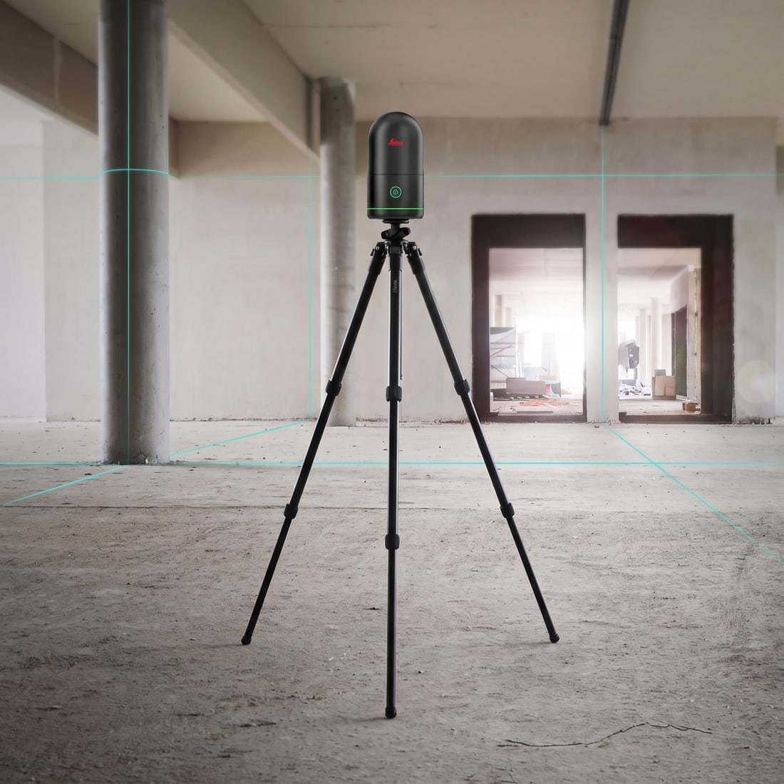
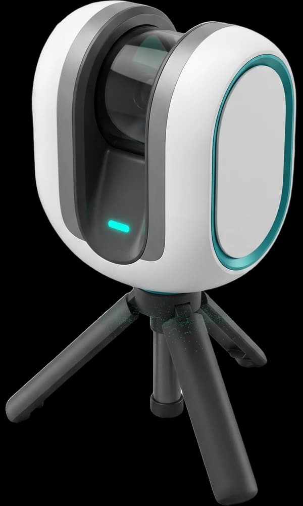
Leica BLK360 scanner on a tripod in an unfinished commercial buildingTerrestrial scanner

Leica BLK360

Our precision terrestrial scanner for detail-critical spaces — complex MEP environments, historic preservation and other high-precision work that needs full-dome imagery.

Capture
Static, tripod
Imaging
Full-dome HDR
Footprint
Compact, unobtrusive
Accuracy
±5 mm
01 / 02

Processing & delivery — in the order your data moves

01RegisterCyclone Register 360Point cloud processing
02ShareNavVis IVIONVirtual access
03DraftAutoCADDrawing production
04ModelRhino3D modeling
05RenderLumionRendering
01 / 05
FAQ

Questions about your scan data.

Can’t find your answer? Talk to Tyler directly — you’ll get a straight answer from the person who’ll scan your building.

Talk to Tyler

Founder · answers every call

Digital deliverables are the point cloud files and virtual access — essentially the raw data from scanning. As-Built Documentation is our comprehensive service: digital deliverables plus DIM plans, MEP documentation and square footage verification. Choose digital deliverables alone when your team wants to create its own drawings from the data.

Virtual site access through NavVis IVION is included with every project. We confirm the hosting term in your quote.

It depends on building size and scan density, but point clouds are typically large, so we deliver them through a secure download link.

Yes. Send a shareable link and anyone can explore the space in their browser — no account or software required.

Free viewers like Autodesk ReCap or CloudCompare open our point cloud files, or you can explore the scan in your browser with NavVis IVION.

Yes. Specify your coordinate system when you request a quote and we’ll deliver the data in it.

Digital deliverables are point clouds. Meshes and 3D models are available through our Modeling & Rendering service.

Members of & partners with

  • Wylie Historical SocietyWylie Historical Society
  • AIA Dallas Allied MemberAIA Dallas
  • Melissa Historical SocietyMelissa Historical Society
  • Historical Hos-Scans — preserving the past through precisionHistorical Hos-Scans
  • Space Planning SpecialistsSpace Planning Specialists