
LiDAR-verified · Dallas–Fort Worth

DIM plans & elevations, extracted from reality.

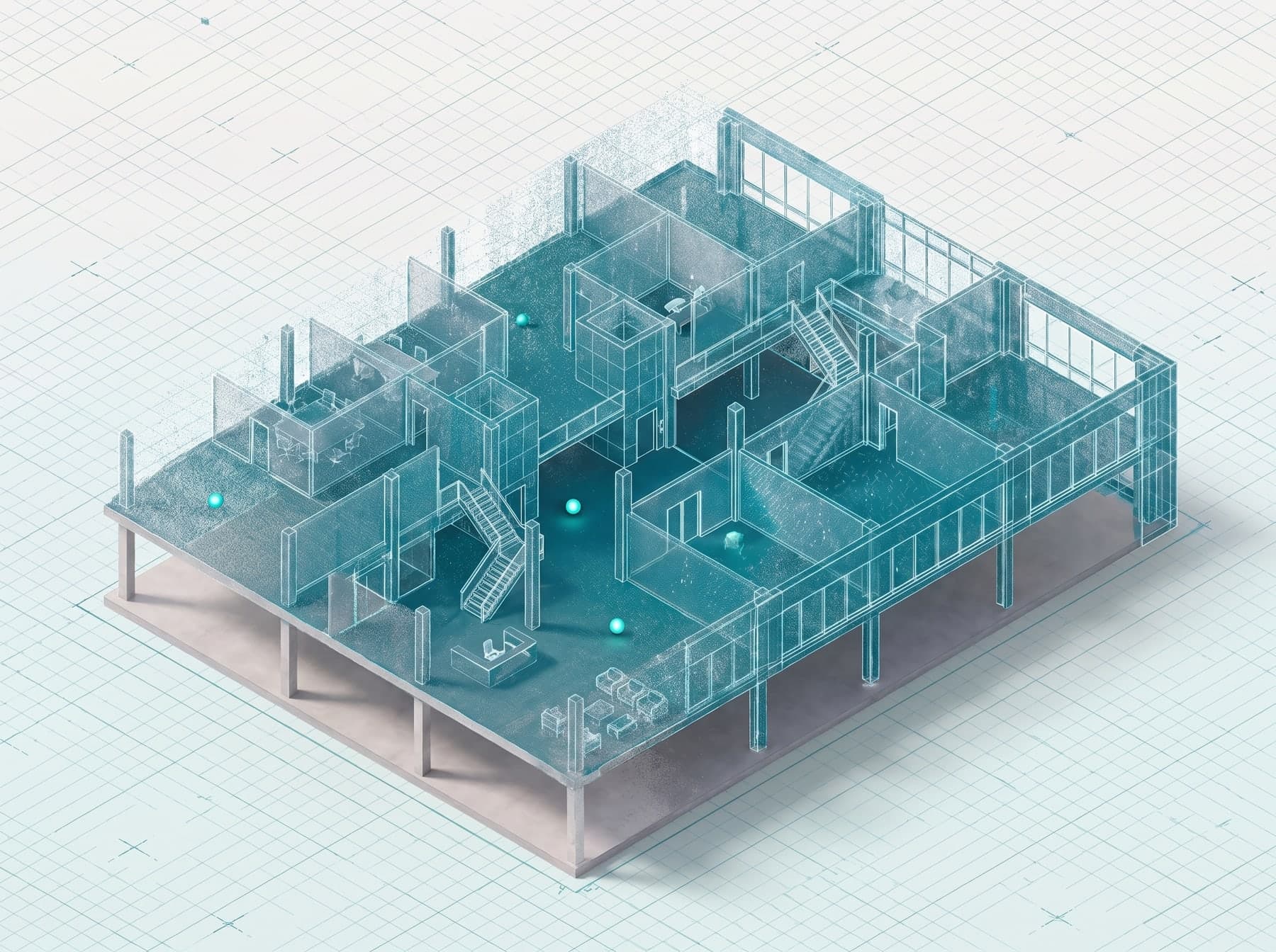
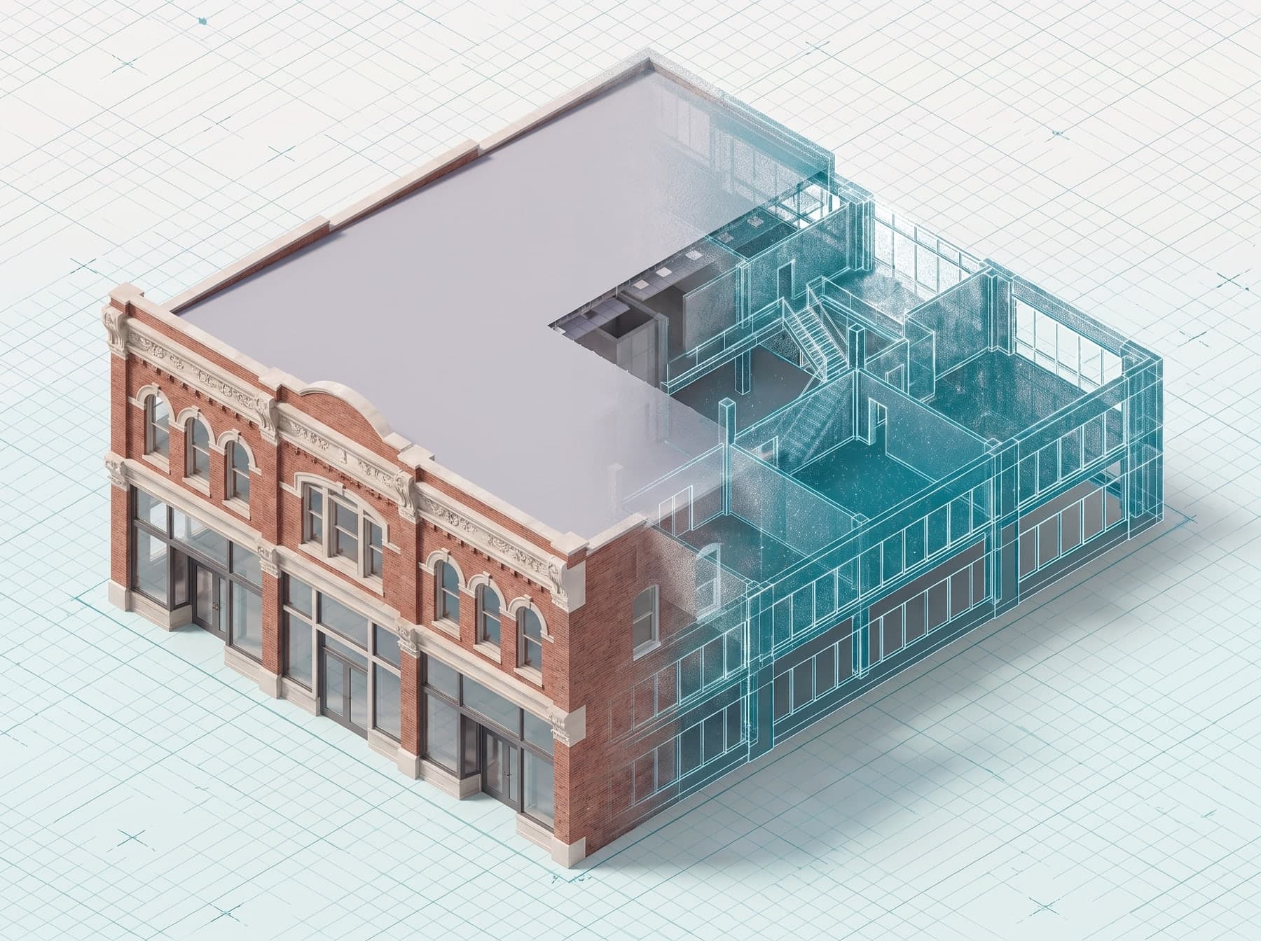
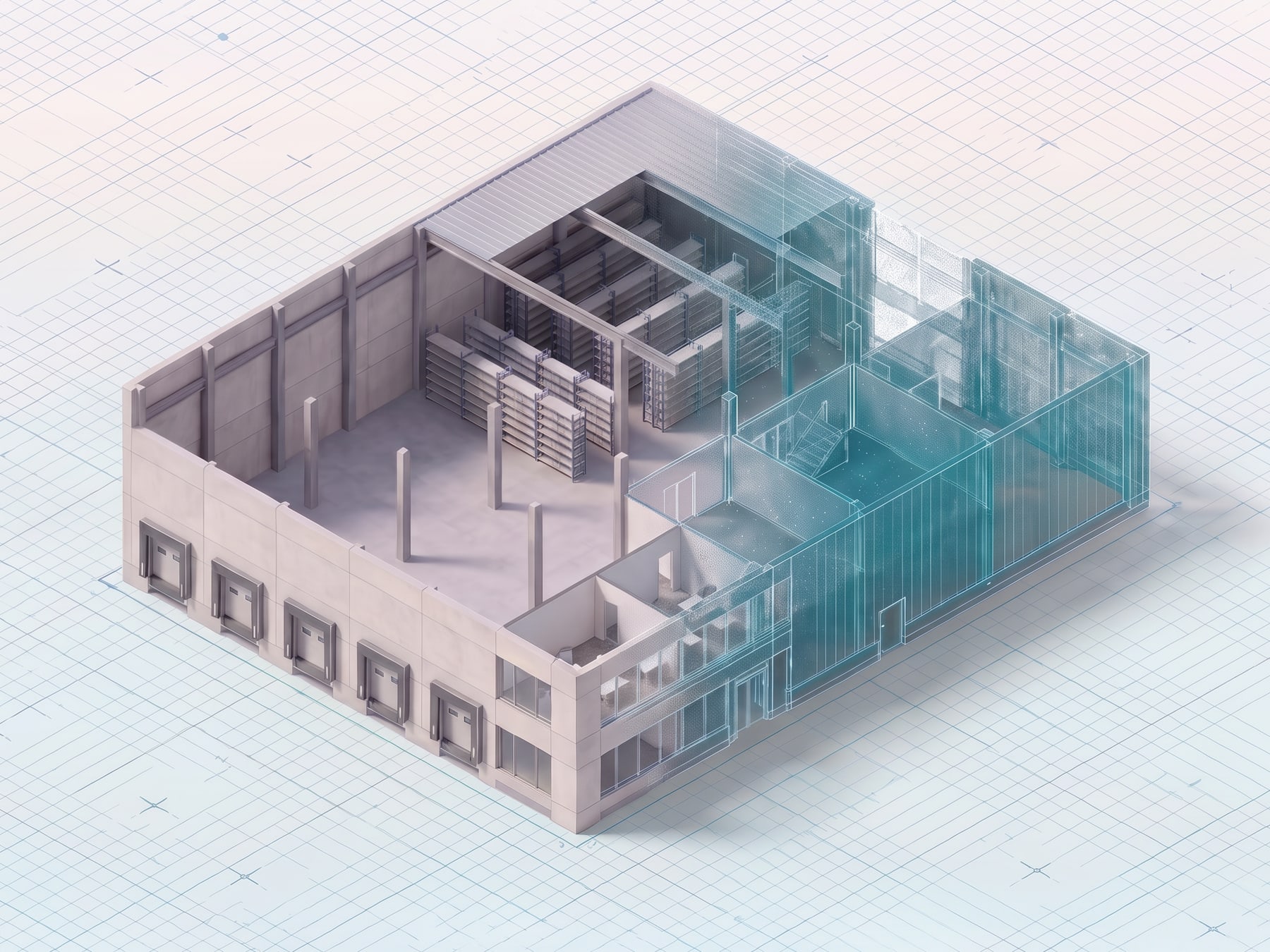
Hos-Scans produces dimensioned floor plans and interior/exterior elevations for Dallas–Fort Worth properties, extracted directly from LiDAR point cloud data — CAD-ready, ±5 mm verified, with no hand-measuring or guesswork.

.DWG drawings
CAD-ready
Standard turnaround
5–10 days
Verified accuracy
±5 mm
Documented to date
5M+ sq ft
The problem

Guessed dimensions don’t fit.

Space planning, millwork, permitting or a lease exhibit — every drawing is only as good as the dimensions behind it.

How one guessed dimension grows

  1. 01A scan stops it hereOne guessed dimensionA tape measure or old plan misses an inch here, a wall there.
  2. 02Drawn into the designLayouts, casework and fixtures are sized to it.
  3. 03Ordered & fabricatedShop drawings and orders lock the wrong number in.
  4. 04Doesn’t fit on installMillwork, glazing or partitions arrive and don’t fit.
  5. 05Remake & delayRe-measure, re-fabricate and reschedule — on your budget.

Stop it at step 1.

DIM plans measured from LiDAR point cloud data give every dimension a verified source before anyone designs, fabricates or signs a lease on it.

Get your quote
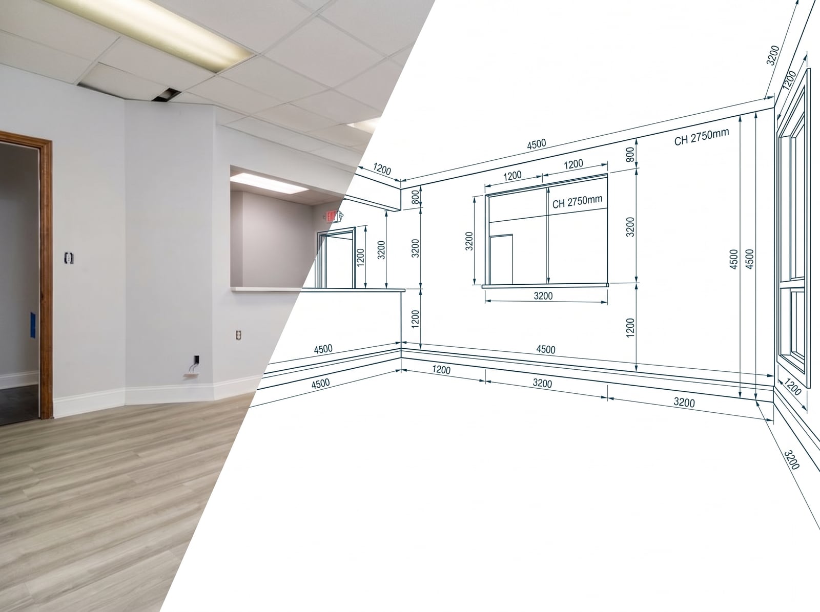
An empty room that turns into its dimensioned elevation drawing
  • ±5 mm verified
Our approach

Dimensions extracted from reality.

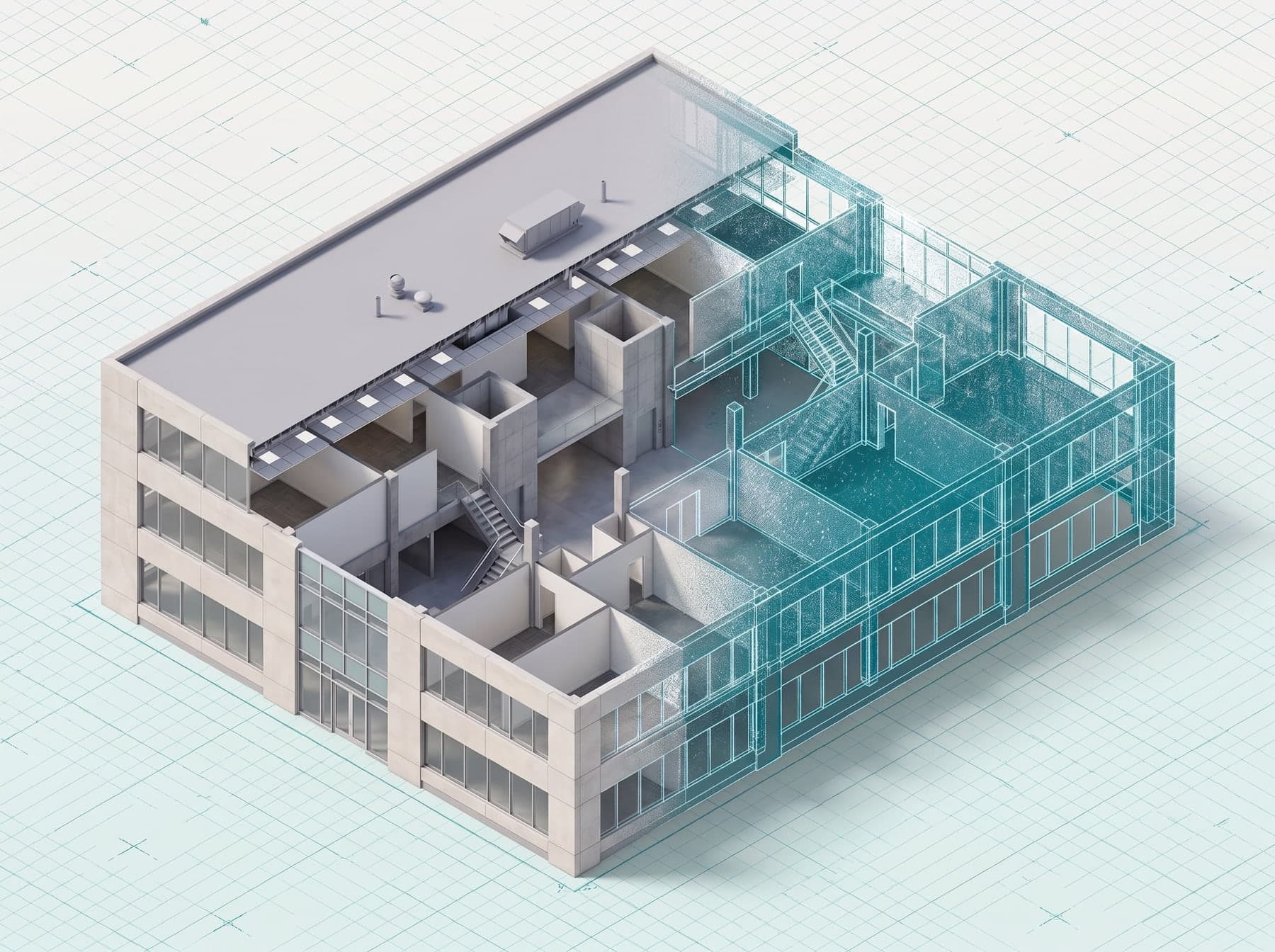
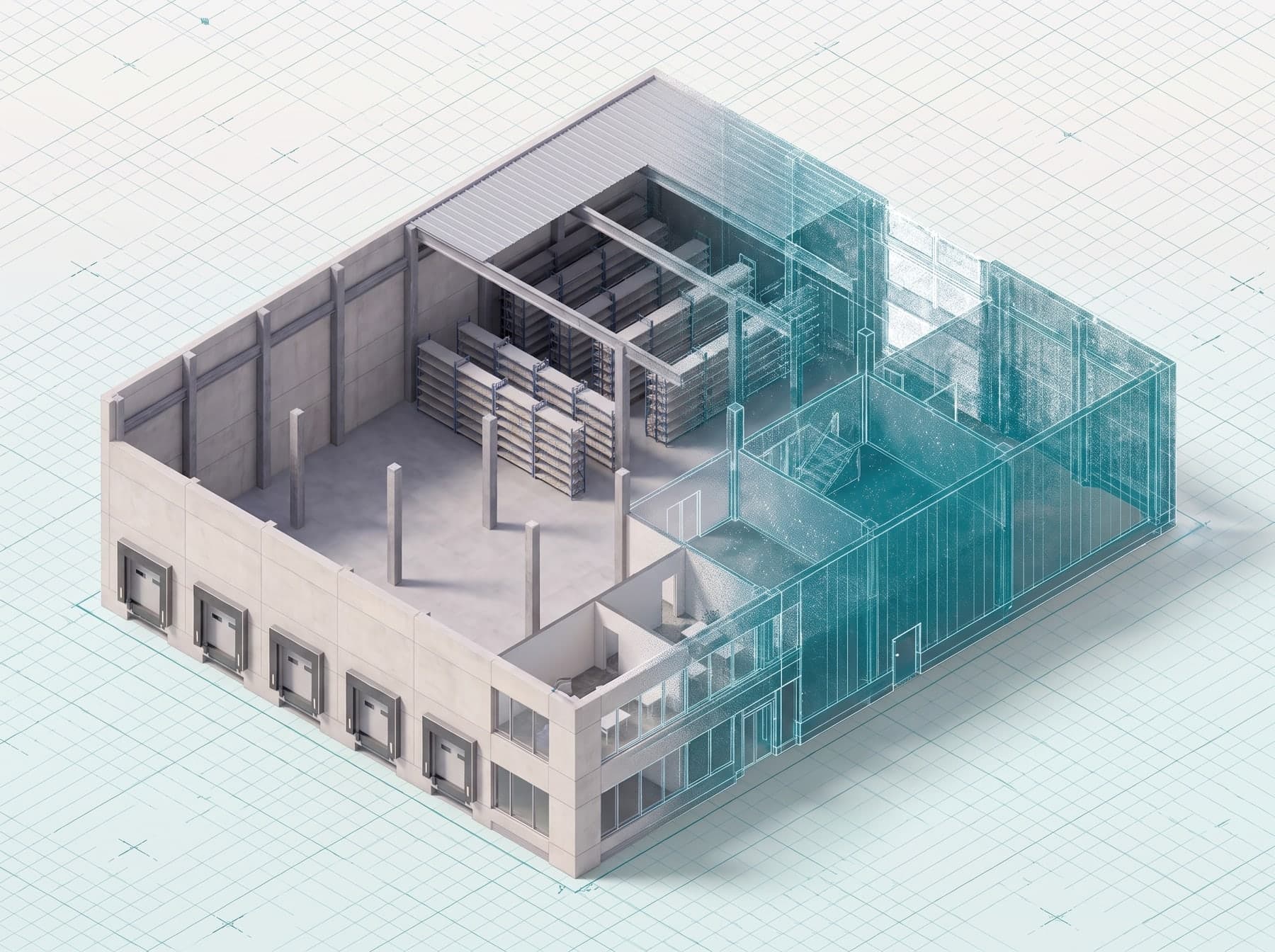
We don’t hand-measure. Hos-Scans captures the space with LiDAR, then extracts every dimension for your floor plans, elevations and reflected ceiling plans straight from the verified point cloud — down to millimeter precision.

Plans arrive formatted, dimensioned and organized in .DWG, ready for AutoCAD, Revit or your preferred design software, so your team can design, permit and plan without re-checking the field.

  1. 01VerifiedAgainst source data
  2. 02ReviewedInternally before delivery
  3. 03GuaranteedCorrections at no cost
Who it’s for

Who needs DIM plans?

Architects, contractors, real estate teams, engineers and facility managers — if your work depends on exact dimensions, you’ll want drawings you can refer back to at any time.

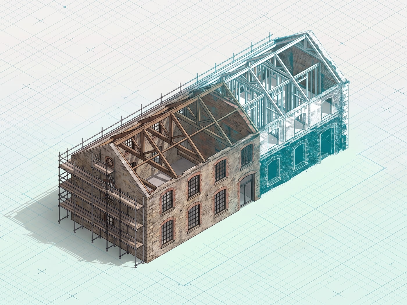
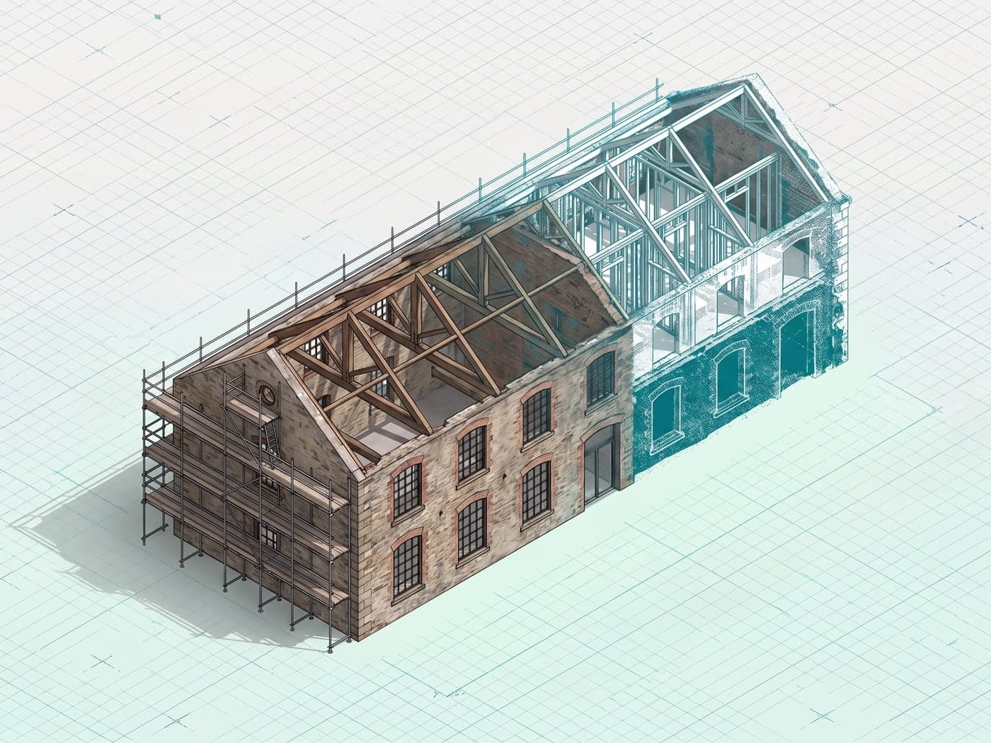
Historic mill mid-conversion as a 3D scan model

Architects & designers

Renovation · TI · adaptive reuse

Starting a renovation without accurate existing conditions? DIM plans give you a precise baseline for design and interior work, without field-verification surprises.

  • Renovation and adaptive reuse
  • Space planning and programming
  • Code compliance verification
  • Historic building documentation

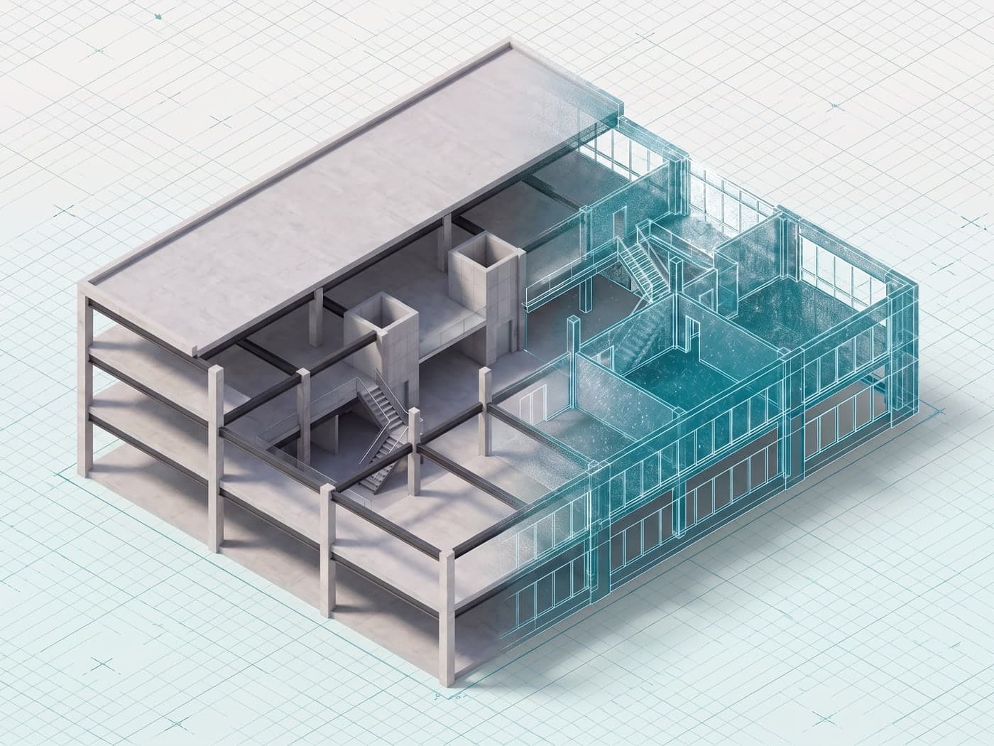
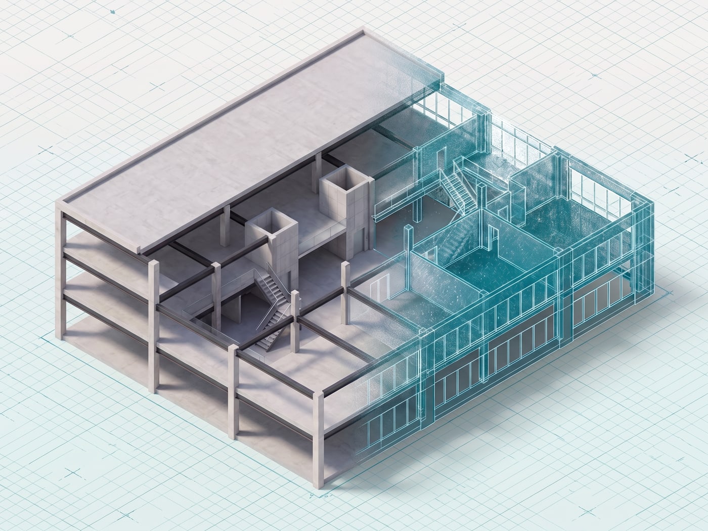
Bare structural frame of a building as a 3D scan model

Contractors & construction managers

Pre-bid · coordination · prefab

Bidding on questionable drawings? Reduce bid risk with plans that document actual conditions before pricing, and simplify coordination during construction.

  • Pre-bid existing conditions verification
  • Subcontractor coordination
  • Prefabrication planning
  • As-built record documentation
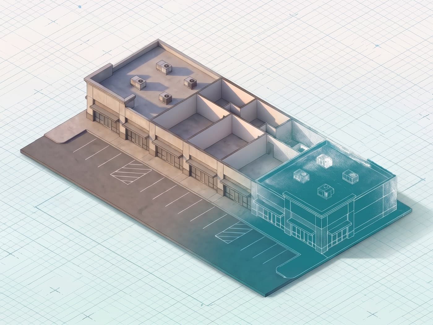
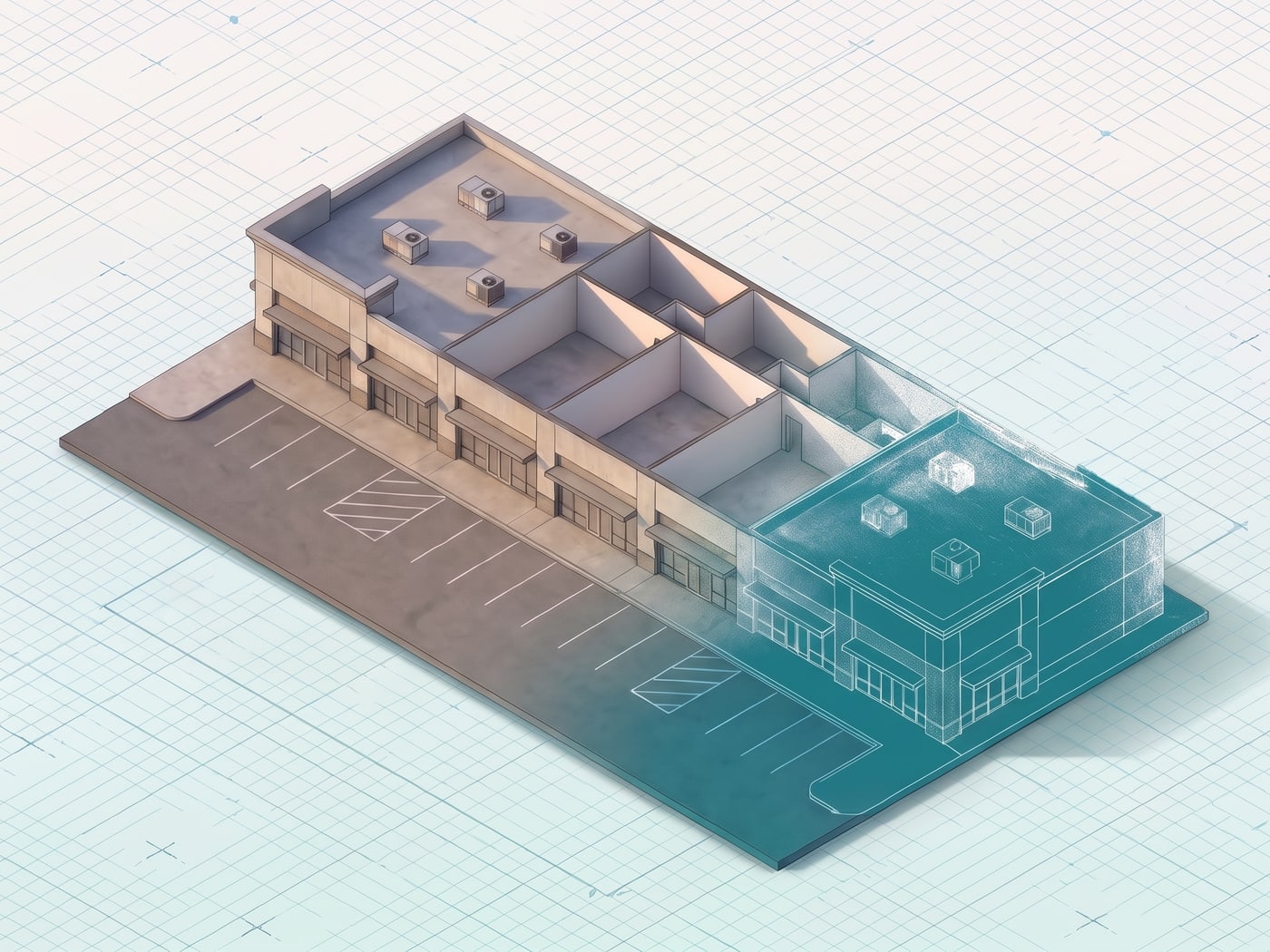
Strip retail centre and parking lot as a 3D scan model

Commercial real estate professionals

Listings · leases · transactions

Marketing a property or negotiating a lease? Get accurate floor plans for listings, verify square footage for transactions and support tenant space planning.

  • Marketing floor plans for listings
  • Lease exhibit documentation
  • Square footage verification
  • Tenant space planning support
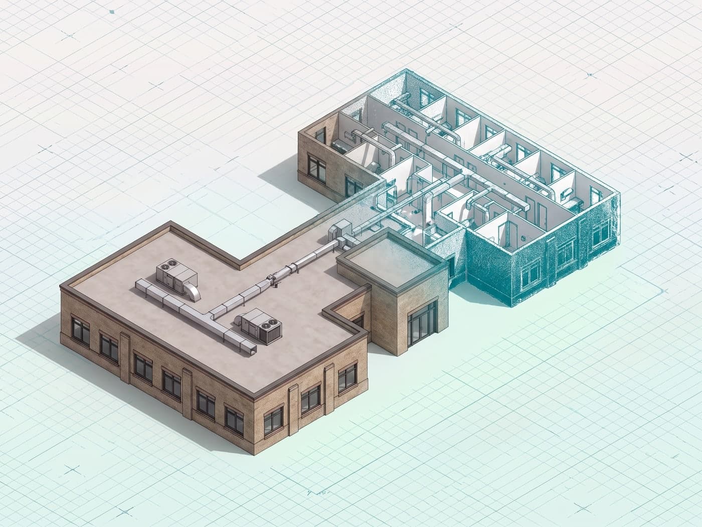
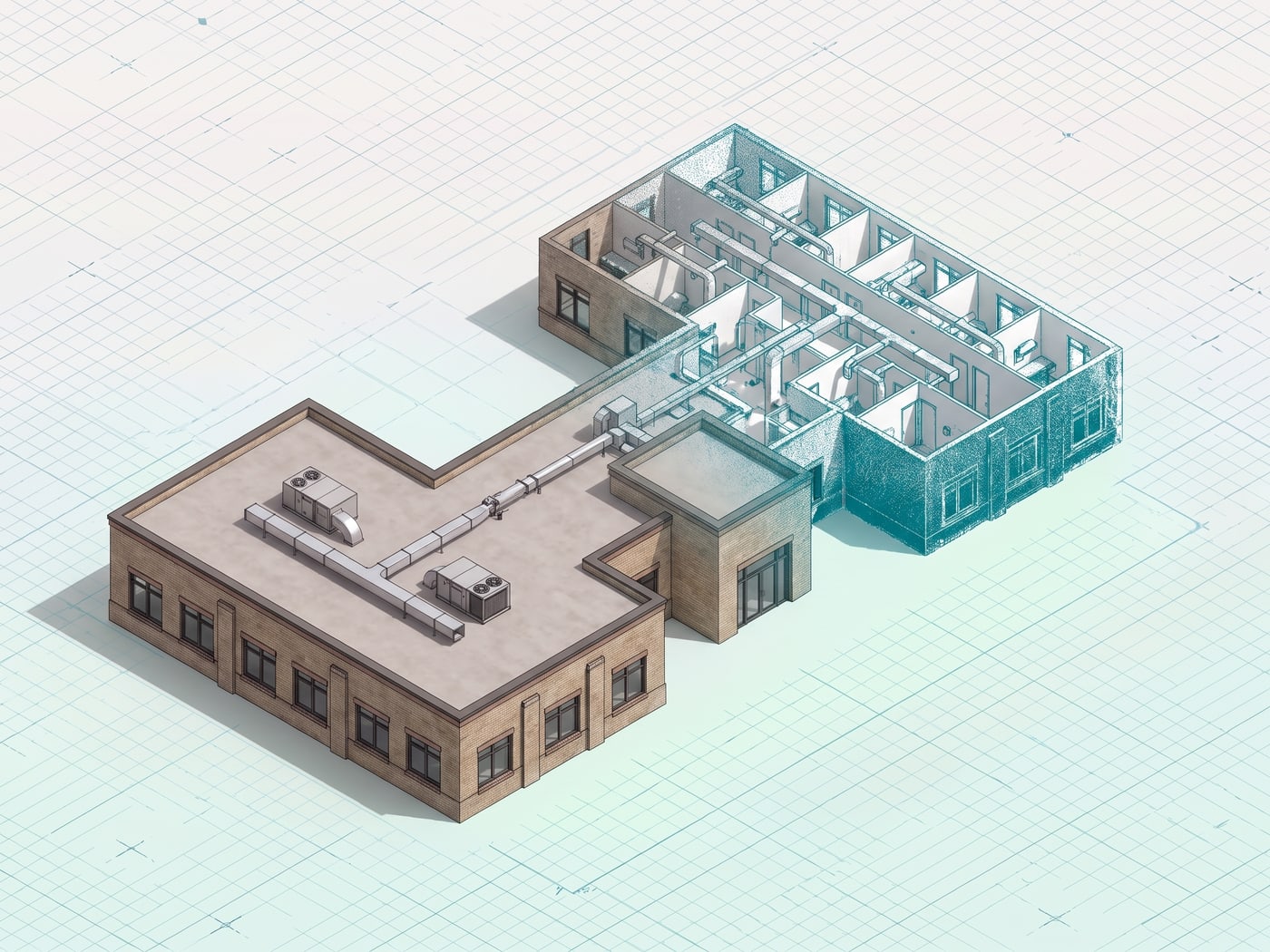
Medical office floor with ductwork as a 3D scan model

Facility managers & property owners

Offices · plants · campuses

Managing a building without current drawings? DIM plans create a documented baseline for maintenance, space management and future renovations.

  • Facility documentation updates
  • Space utilization analysis
  • Maintenance and operations support
  • Capital planning documentation

01 / 04
Our process

How it works.

Our process delivers accurate drawings efficiently, without disrupting your operations — from first call to delivery.

  1. 01

    Quote & scope

    We establish which drawings you need, the level of detail and your timeline, then send a clear quote that covers every deliverable.

  2. 02

    Site scanning

    Our team captures your space with LiDAR. Most buildings are scanned in a single site visit, with minimal disruption.

  3. 03

    Point cloud processing

    We register and process the raw scan data into one unified, accurate point cloud — the foundation for every drawing.

  4. 04

    Drawing production

    We extract floor plans, elevations and other drawings from the point cloud, then add annotations and layer organization.

  5. 05

    Quality control

    Each drawing is reviewed for accuracy, completeness and professional formatting before it leaves our hands.

  6. 06

    Delivery & support

    You receive your drawings in the formats you requested, and we walk you through them and answer any questions.

Standard delivery: 5–10 business daysUrgent? Expedited 24–72 hour delivery.

Technology

Measured with survey-grade scanners.

Every dimension in your plans traces back to professional-grade LiDAR — millions of points per second, verified to ±5 mm before a single line is drawn.

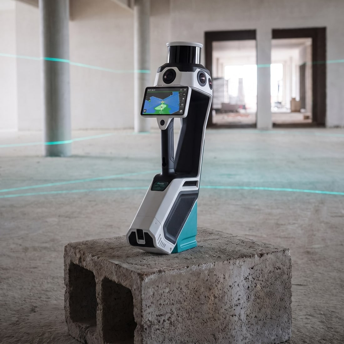
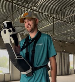
NavVis MLX mobile scanner in an unfinished commercial buildingMobile scanner

NavVis MLX

A mobile LiDAR mapping system that captures point cloud data and 360° panoramic imagery simultaneously — ideal for efficiently scanning large commercial spaces.

Capture
Mobile, walk-through
Coverage
Up to 300,000 sq ft / day
Imaging
Integrated panoramic cameras
Accuracy
±5 mm
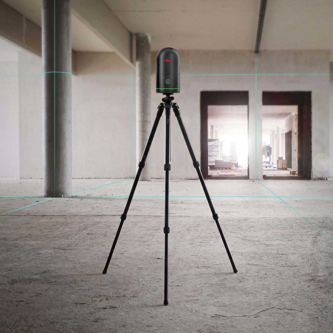
Leica BLK360 scanner on a tripod in an unfinished commercial buildingTerrestrial scanner

Leica BLK360

Our precision terrestrial scanner for detail-critical spaces — complex MEP environments, historic preservation and other high-precision work that needs full-dome imagery.

Capture
Static, tripod
Imaging
Full-dome HDR
Footprint
Compact, unobtrusive
Accuracy
±5 mm
01 / 02

Processing & delivery — in the order your data moves

01RegisterCyclone Register 360Point cloud processing
02ShareNavVis IVIONVirtual access
03DraftAutoCADDrawing production
04ModelRhino3D modeling
05RenderLumionRendering
01 / 05
FAQ

Frequently asked questions.

Can’t find your answer? Talk to Tyler directly — you’ll get a straight answer from the person who’ll scan your building.

Talk to Tyler

Founder · answers every call

As-built documentation is the full service: we scan your building and document existing conditions as they are. DIM plans are one of the drawing sets we produce from that scan, alongside elevations, reflected ceiling plans and floor plans — so you can order just the drawings your project needs.

Yes. Every project is scoped to the drawings you need, so you can order dimensioned floor plans on their own and add elevations or ceiling plans later.

We agree the level of detail during scoping. Standard DIM plans cover walls, doors, windows, columns, room labels and area calculations; furniture and fixture locations can be added on request.

When requested, we document visible MEP elements such as fixtures, panels and exposed runs. Concealed systems inside walls or above hard ceilings aren’t captured by the scan.

We scan every floor and register them into one point cloud, then deliver a plan for each level, dimensioned to the same ±5 mm standard.

Yes. Drawings are delivered as layer-organized .DWG files, so your team can edit and build on them in AutoCAD or other CAD software.

Let us know. Corrections are free under our 100% satisfaction guarantee — we revise the drawings until they meet the agreed scope.

Members of & partners with

  • Wylie Historical SocietyWylie Historical Society
  • AIA Dallas Allied MemberAIA Dallas
  • Melissa Historical SocietyMelissa Historical Society
  • Historical Hos-Scans — preserving the past through precisionHistorical Hos-Scans
  • Space Planning SpecialistsSpace Planning Specialists