Built from LiDAR data · Dallas–Fort Worth

Modeling & renderingservices in DFW.

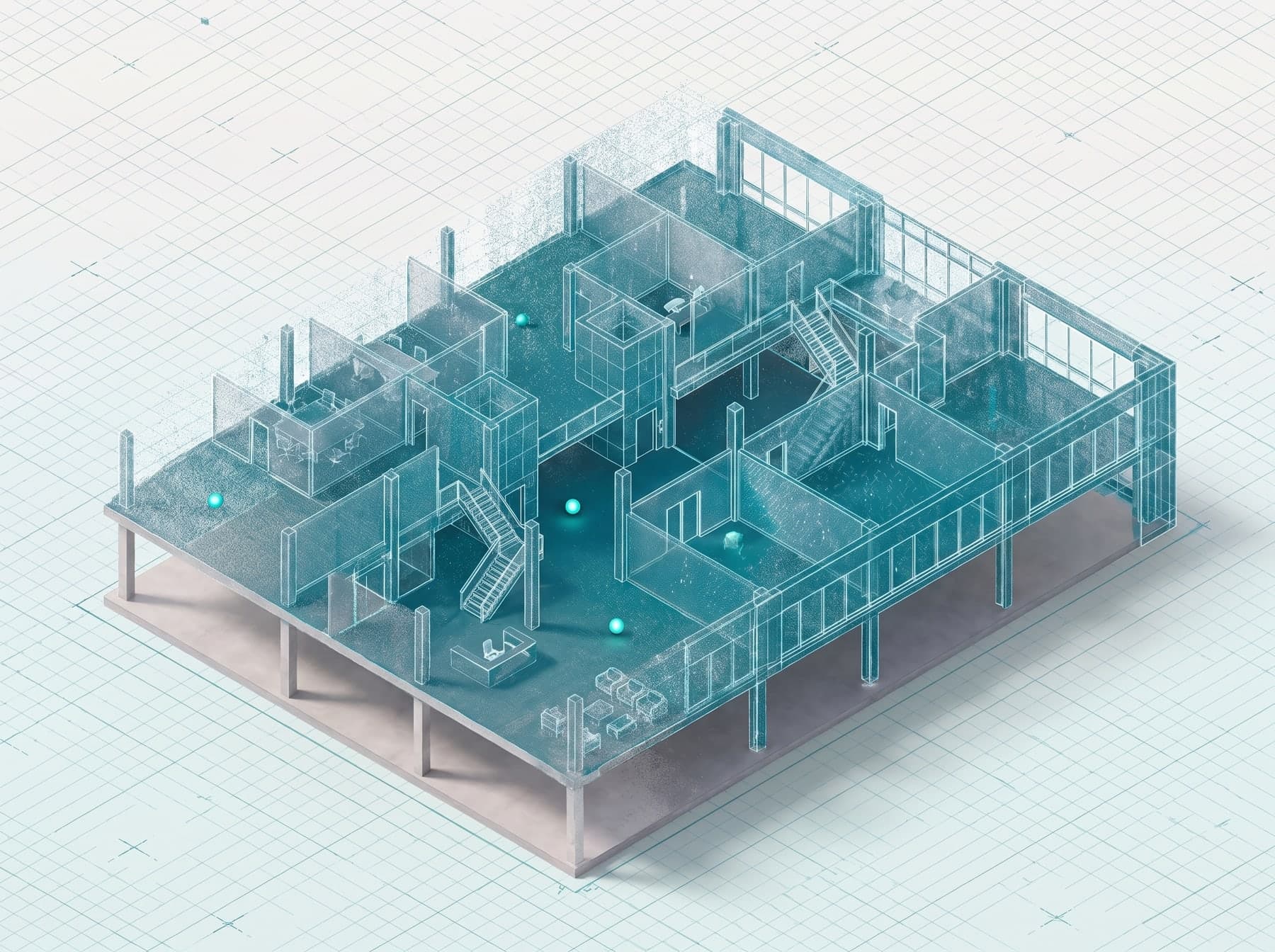
Transform point cloud data into models, renderings and visualizations. Architectural 3D models and photorealistic renderings, built from verified LiDAR data — accurate, production-ready and Rhino3D-native.

Architectural, as-is
3D models
Photorealistic
Renderings
Typical model delivery
2–4 weeks
Scan-verified geometry
±5 mm
The problem

Models built on guesses mislead.

Design reviews, marketing and investor decks — a model is only as convincing as the building it’s based on.

How one modeling assumption grows

  1. 01A scan stops it hereModeled from old plansThe existing building is traced from plans that are out of date.
  2. 02Design layered on topConcepts, options and renderings all build on it.
  3. 03Visuals signed offClients, investors and boards approve what they see.
  4. 04Reality doesn’t matchWalls, heights and openings differ once work starts.
  5. 05Redesign & lost trustRework the model, re-render and re-explain the changes.

Stop it at step 1.

We build Rhino3D models and renderings directly from verified LiDAR point cloud data, so every visual matches the building that’s actually there.

Get your quote
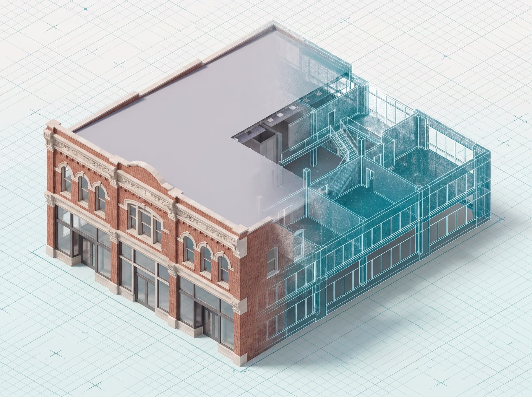
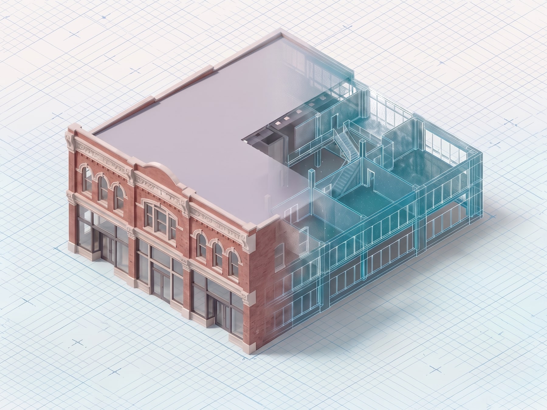
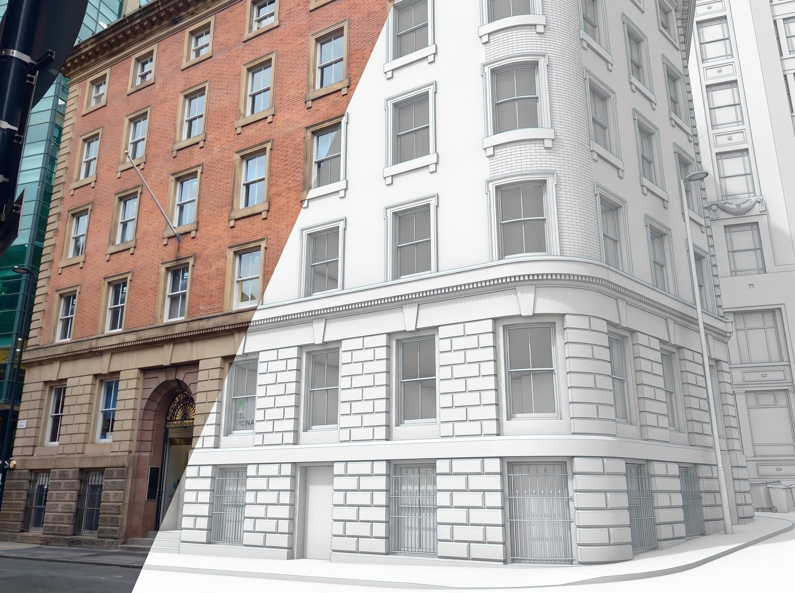
A brick corner building that turns into its white 3D model
  • Rhino3D · as-is
Our approach

Models and visuals built on real data.

Hos-Scans turns verified point cloud data into architectural-grade Rhino3D models of existing conditions — walls, openings, millwork and exterior elements modeled from what the scanner measured, not from assumptions.

On top of those models we produce photorealistic renderings for marketing, presentations and approvals. Use the models directly, or import them into Revit or your own BIM platform and keep going.

  1. 01AccurateBuilt from verified scans
  2. 02CleanOrganized Rhino3D files
  3. 03PortableExports to your platform
Who it’s for

Who uses modeling & rendering?

Visualization for every project phase — supporting clients across architecture, construction, real estate, interior design and facility management.

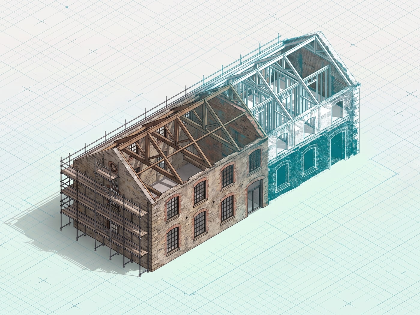
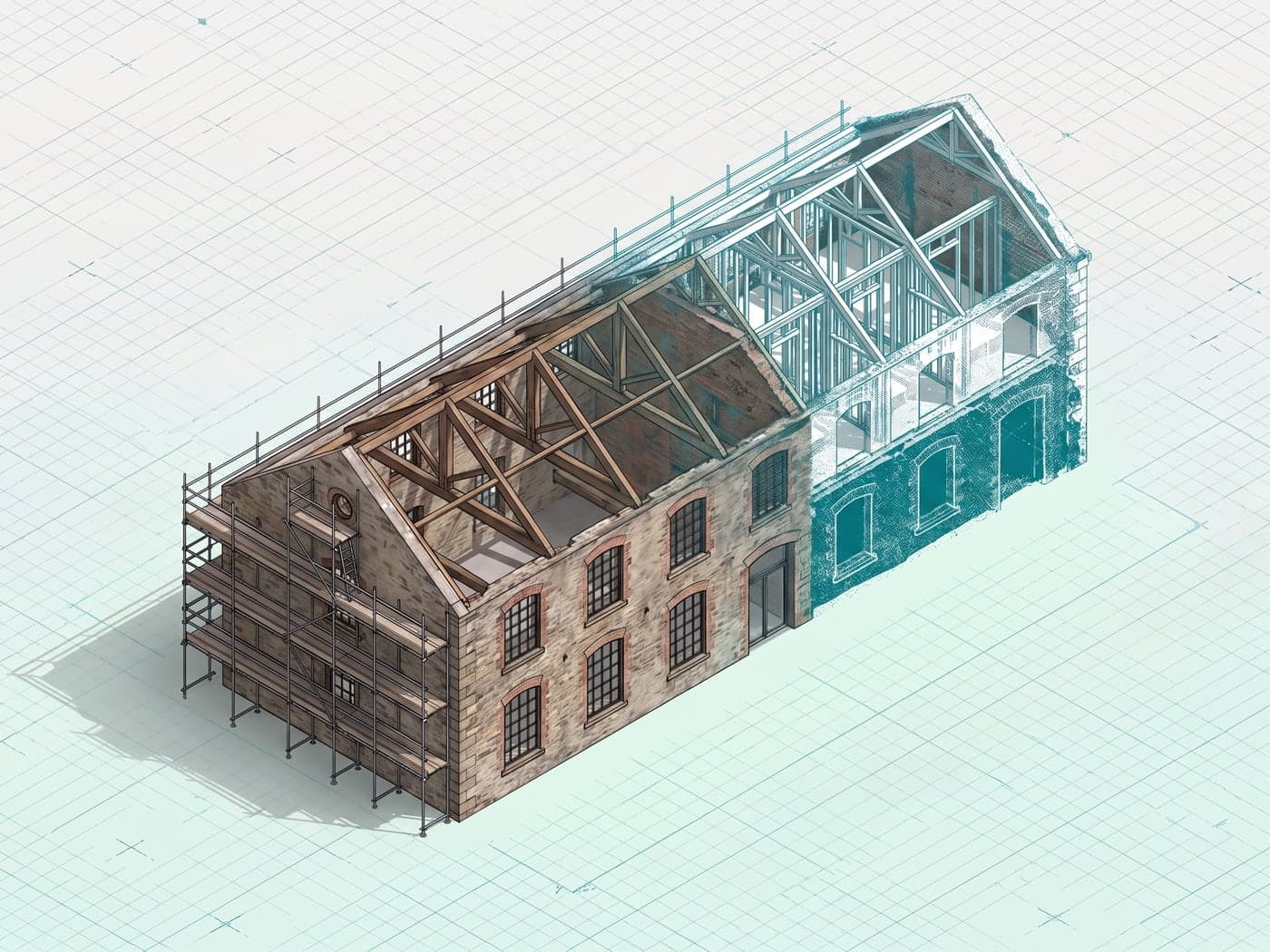
Historic mill mid-conversion as a 3D scan model

Architects & interior designers

Renovation · interiors · options

Start renovation or interior design from an accurate existing-conditions model instead of building from scratch. Models can be exported into your Revit workflow and make design concepts easier to communicate.

  • Existing conditions baseline
  • Design coordination models
  • Client presentation renderings
  • Design option visualizations
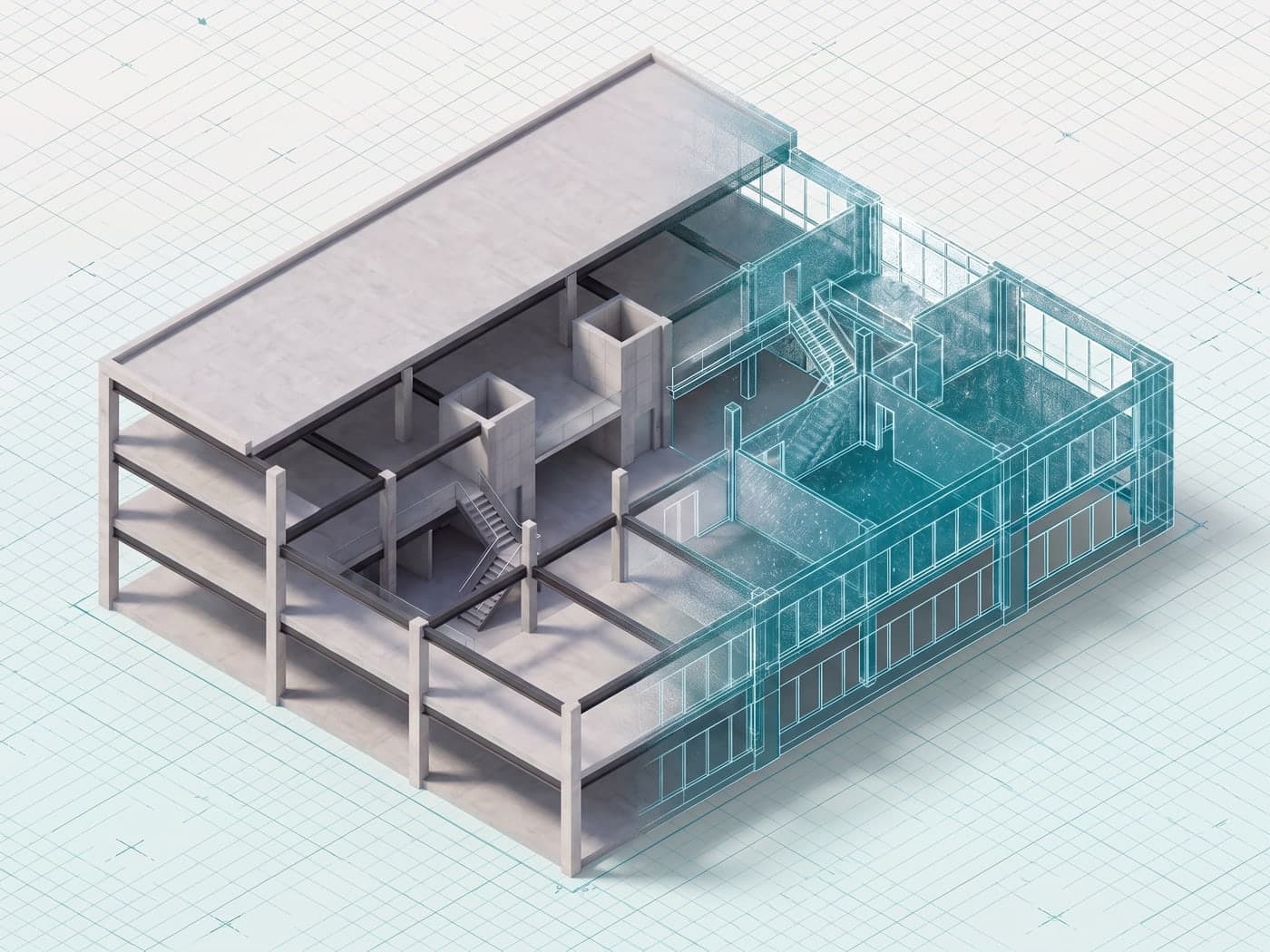
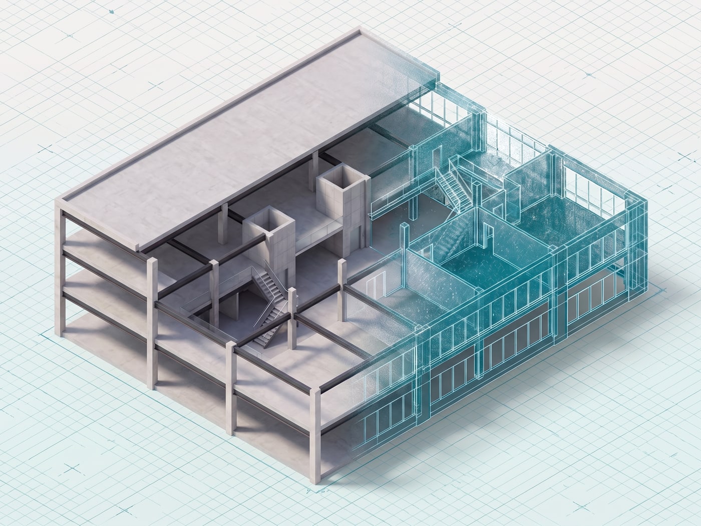
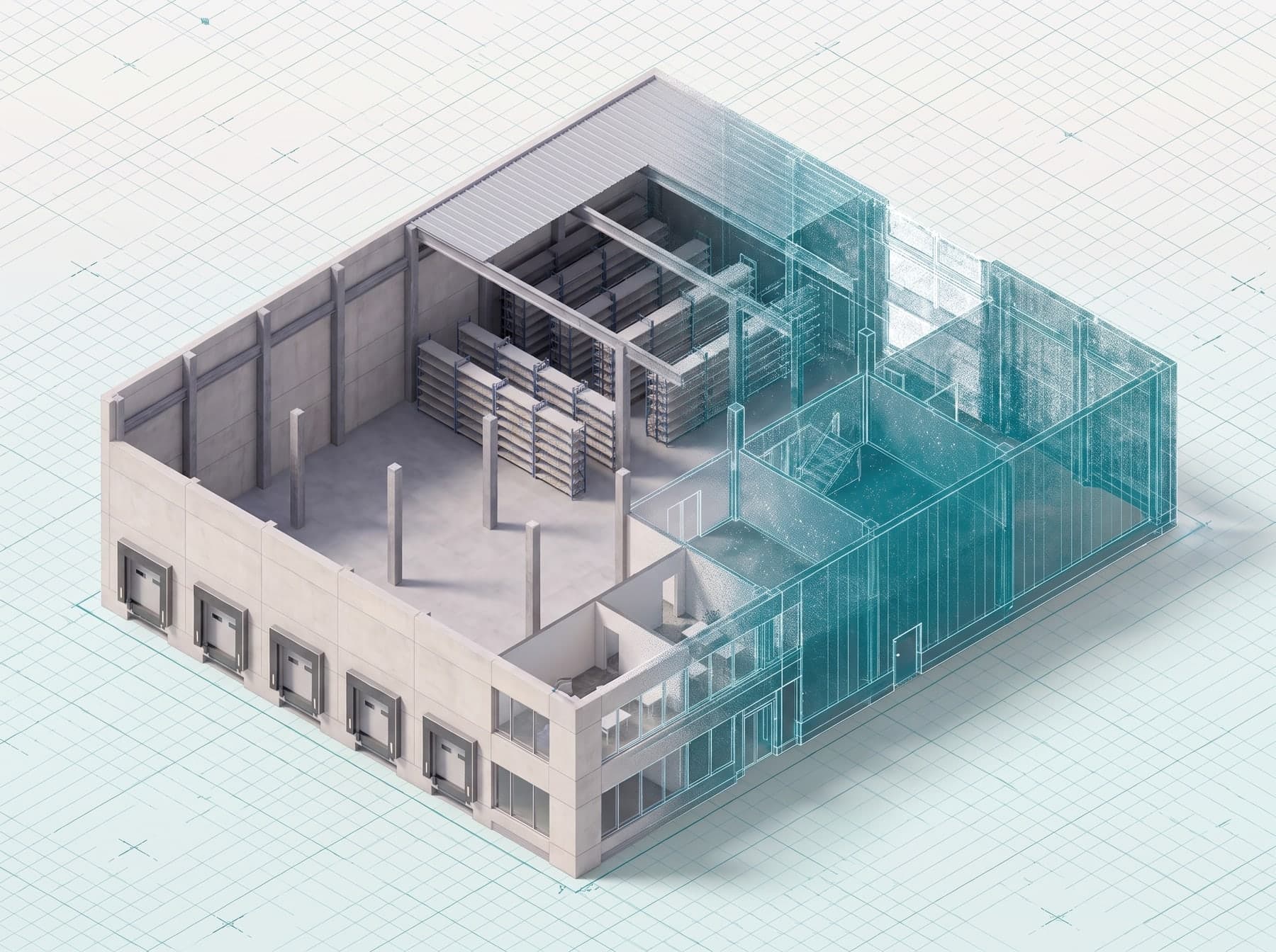
Bare structural frame of a building as a 3D scan model

Contractors & construction managers

Pre-construction · coordination

Coordinate construction with accurate as-built models. Use our coordination models to spot conflicts before they become field problems, and document completed work for handoff.

  • Pre-construction coordination
  • Coordination models
  • Progress documentation
  • As-built record models
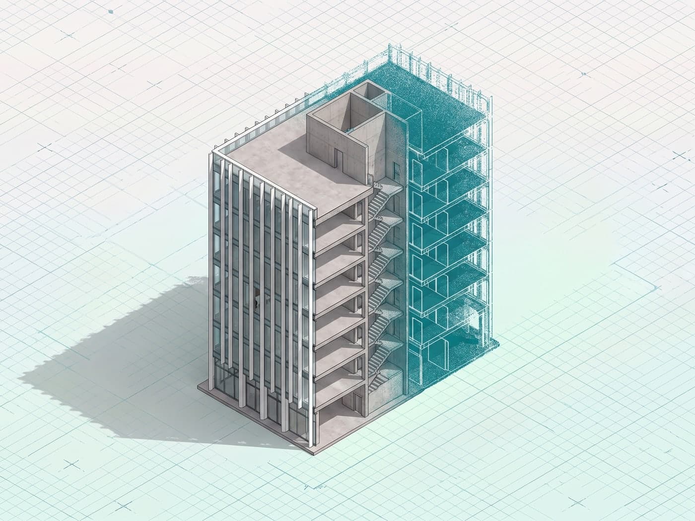
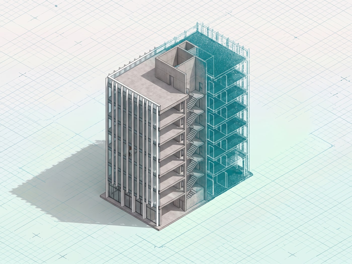
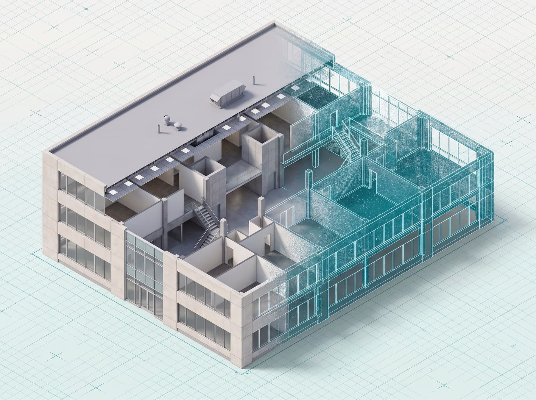
Office tower with tenant suites revealed as a 3D scan model

Commercial real estate

Listings · staging · investors

Market properties with striking visuals. Virtual staging helps prospects see the potential of empty spaces, and accurate building models support investment decisions.

  • Property marketing renderings
  • Virtual staging for listings
  • Due diligence models
  • Portfolio visualization
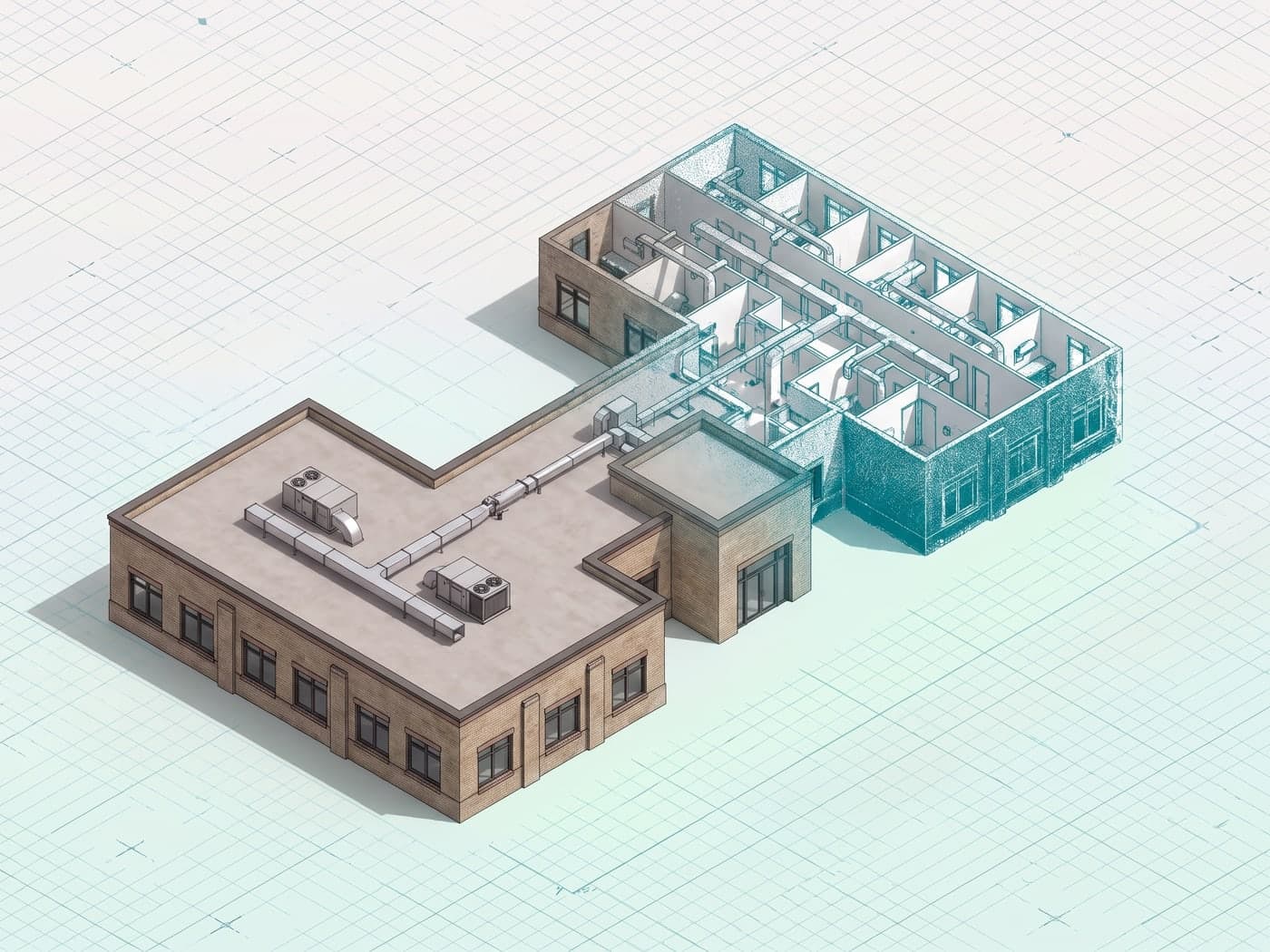
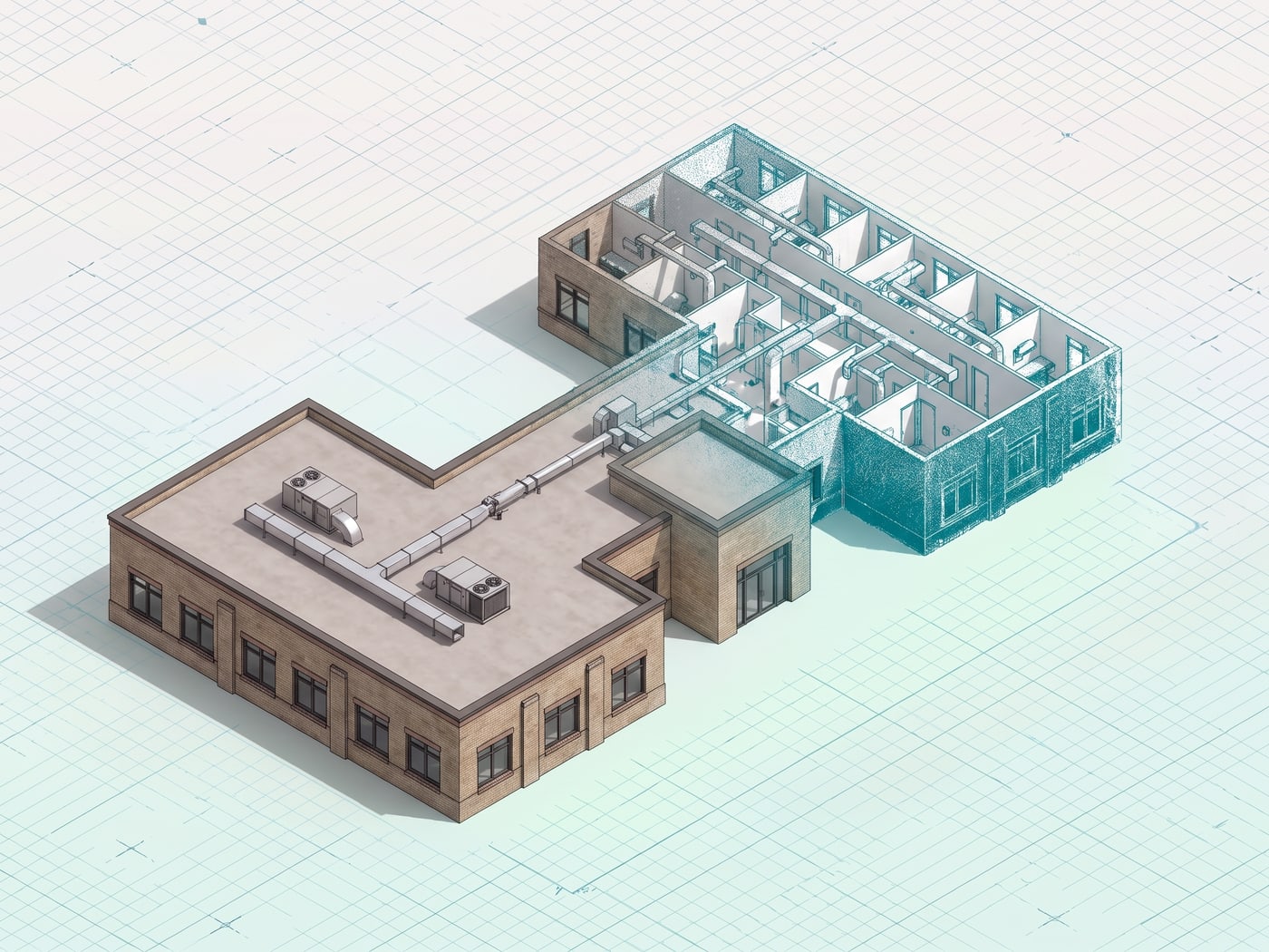
Medical office floor with ductwork as a 3D scan model

Facility managers & owners

Digital twins · capital planning

A realistic digital twin of your building for ongoing operations, with accurate existing-conditions documentation that supports capital planning.

  • Digital twin visualizations

  • Space management models
  • Capital project support
  • Maintenance documentation
01 / 04
Our process

Accuracy and quality at every step.

We follow the same process whatever modeling or rendering service you need, so accuracy and quality are checked at every step.

  1. 01

    Project scoping

    We discuss your model, rendering style, formats and timeline. Not sure what you need? We’ll walk you through the options and quote upfront.

  2. 02

    Data capture (if needed)

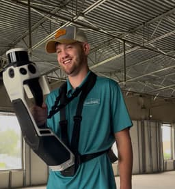
    If we haven’t scanned your space yet, we visit the site and capture point cloud and panoramic data with our NavVis and Leica equipment.

  3. 03

    Model development

    We build your 3D model or develop visualization scenes from verified point cloud data, depending on the services you need.

  4. 04

    Quality review

    We check models carefully against the source data, and review renderings for accuracy and visual quality before moving on.

  5. 05

    Client review

    You review the draft deliverables and send feedback. We make revisions as needed and answer any questions you have.

  6. 06

    Final delivery

    You receive production-ready files in your requested formats, with support for integration or follow-up questions before sign-off.

Typical delivery: 2–4 weeks for modelsRenderings 1–2 weeks · animations 2–3 weeks

Technology

The data behind every model.

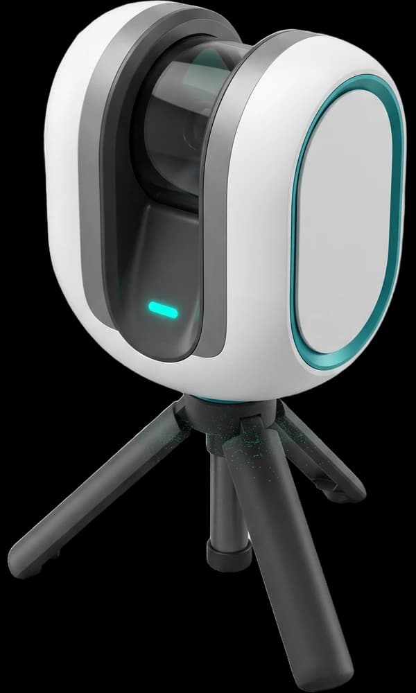
Every model starts as a survey-grade LiDAR scan — millions of points per second, verified to ±5 mm — before we model a single wall.

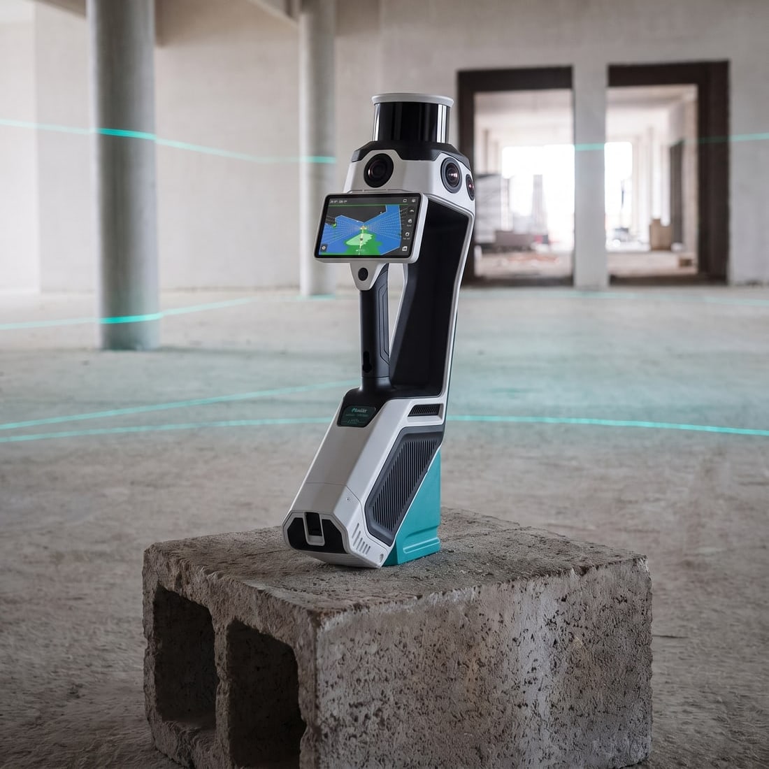
NavVis MLX mobile scanner in an unfinished commercial buildingMobile scanner

NavVis MLX

A mobile LiDAR mapping system that captures point cloud data and 360° panoramic imagery simultaneously — ideal for efficiently scanning large commercial spaces.

Capture
Mobile, walk-through
Coverage
Up to 300,000 sq ft / day
Imaging
Integrated panoramic cameras
Accuracy
±5 mm
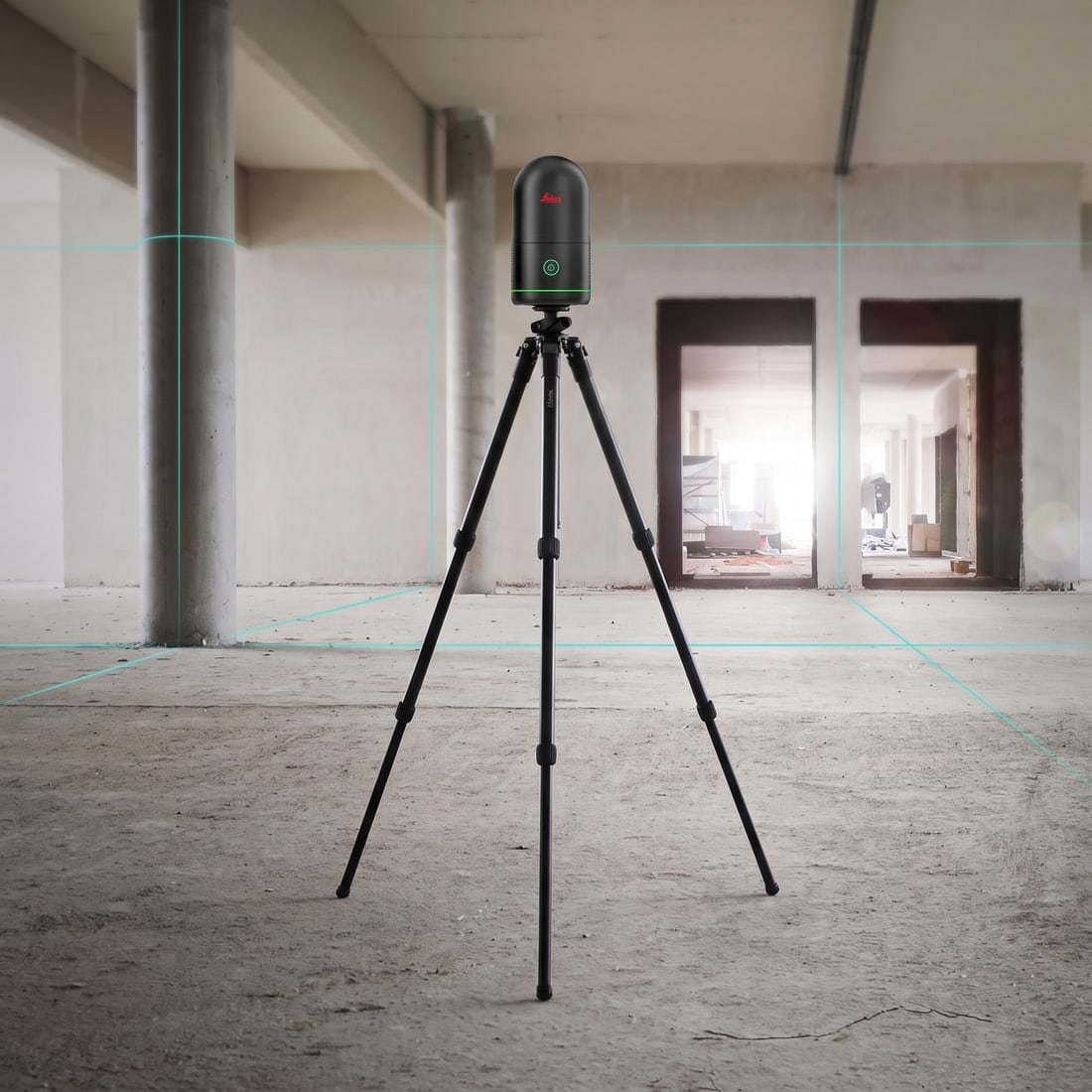
Leica BLK360 scanner on a tripod in an unfinished commercial buildingTerrestrial scanner

Leica BLK360

Our precision terrestrial scanner for detail-critical spaces — complex MEP environments, historic preservation and other high-precision work that needs full-dome imagery.

Capture
Static, tripod
Imaging
Full-dome HDR
Footprint
Compact, unobtrusive
Accuracy
±5 mm
01 / 02

Processing & delivery — in the order your data moves

01RegisterCyclone Register 360Point cloud processing
02ShareNavVis IVIONVirtual access
03DraftAutoCADDrawing production
04ModelRhino3D modeling
05RenderLumionRendering
01 / 05
FAQ

Frequently asked questions.

Can’t find your answer? Talk to Tyler directly — you’ll get a straight answer from the person who’ll build your model.

Talk to Tyler

Founder · answers every call

Either works. If you already have point cloud data from another provider, we can model from it, assuming the quality is sufficient. If you need scanning, our bundled scanning and modeling packages are priced better than separate services.

Our models are built from verified point cloud data accurate to ±5 mm, so they reflect existing conditions rather than assumptions or old drawings.

Visible MEP elements, such as exposed ductwork, piping and equipment, can be modeled on request. Concealed systems behind walls or ceilings can’t be captured by scanning, so they aren’t modeled.

Photorealistic interior and exterior renderings, aerial and contextual views, detail-focused feature imagery and day/night lighting scenarios.

Revision rounds are agreed in your quote, and every project is covered by our 100% satisfaction guarantee — we revise until it’s right.

Yes. We match virtual staging to your furniture and finish selections, or offer options for you to choose from.

Members of & partners with

  • Wylie Historical SocietyWylie Historical Society
  • AIA Dallas Allied MemberAIA Dallas
  • Melissa Historical SocietyMelissa Historical Society
  • Historical Hos-Scans — preserving the past through precisionHistorical Hos-Scans
  • Space Planning SpecialistsSpace Planning Specialists