LiDAR-verified · Dallas–Fort Worth

As-built documentationservices in DFW.

Tired of bidding on inaccurate plans and discovering unwelcome surprises on-site? Get LiDAR-verified as-builts and learn the truth about existing conditions — before problems become expensive.

.DWG drawings
CAD-ready
Standard turnaround
5–10 days
Documented to date
5M+ sq ft
Verified accuracy
±5 mm
The problem

Outdated plans cost you money.

Renovation, tenant improvement or acquisition — every project starts with the same question: what are we actually working with?

How one outdated dimension grows

  1. 01A scan stops it hereOne outdated dimensionSits quietly in old drawings or county CAD records.
  2. 02Design is built on itLayouts, bids and orders all assume it’s right.
  3. 03Found on siteField conditions don’t match the drawings.
  4. 04Change orderRedesign, re-quote and re-approve — or argue over square footage.
  5. 05Rework & delayWeeks lost and budget spent fixing avoidable mistakes.

Stop it at step 1.

A LiDAR-verified as-built replaces outdated drawings before anyone designs, bids or builds on them — no unwelcome surprises, no unnecessary expense.

Get your quote
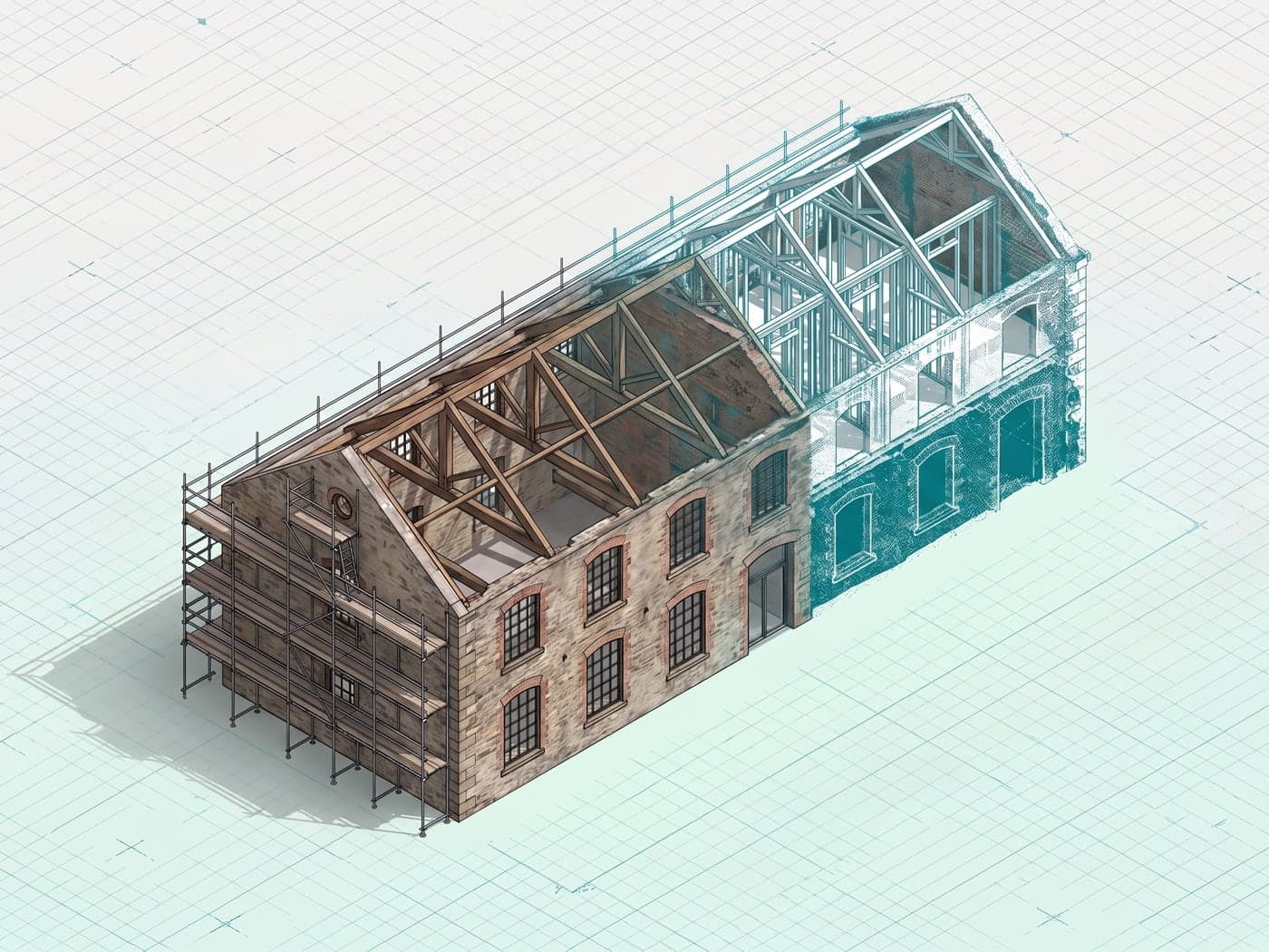
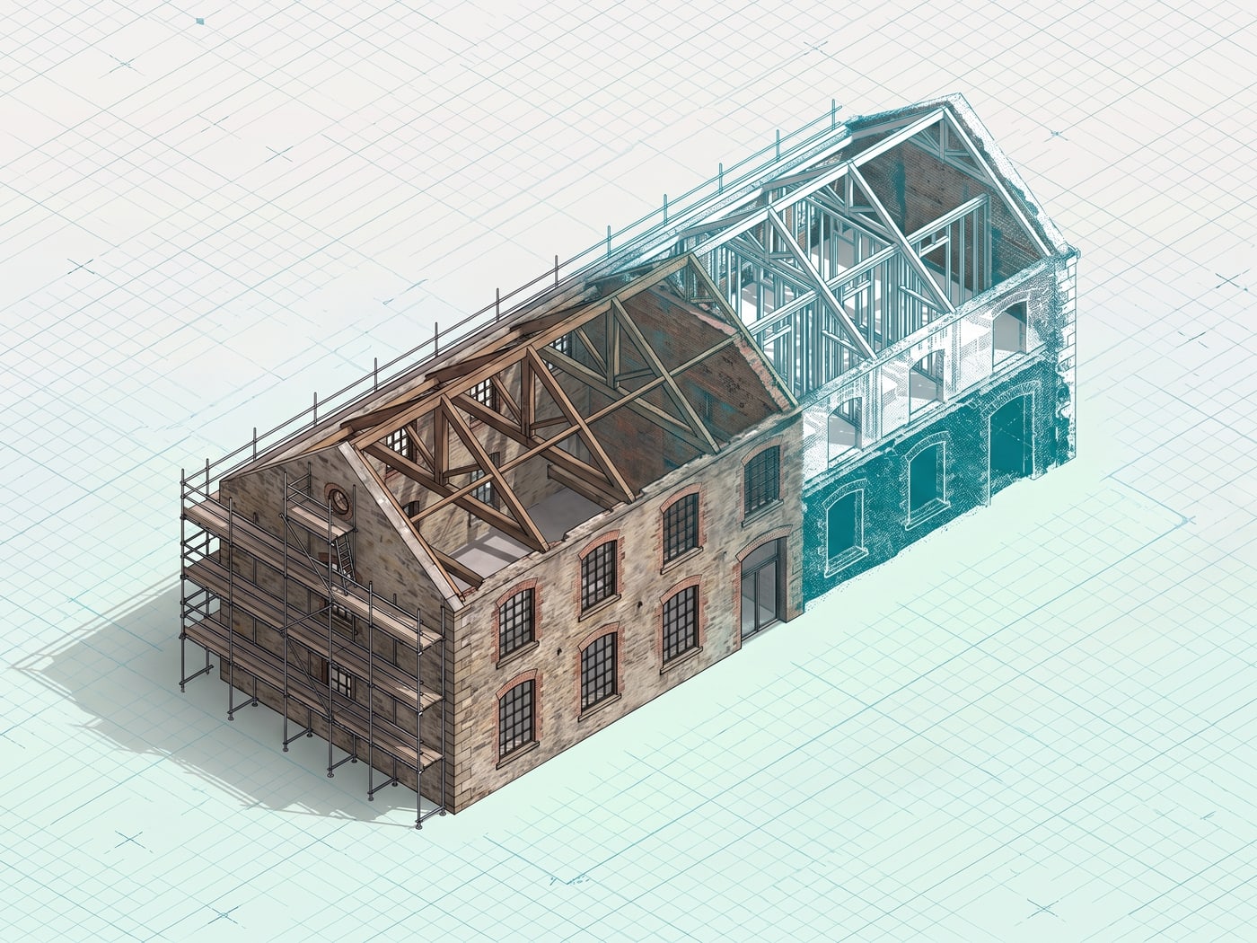
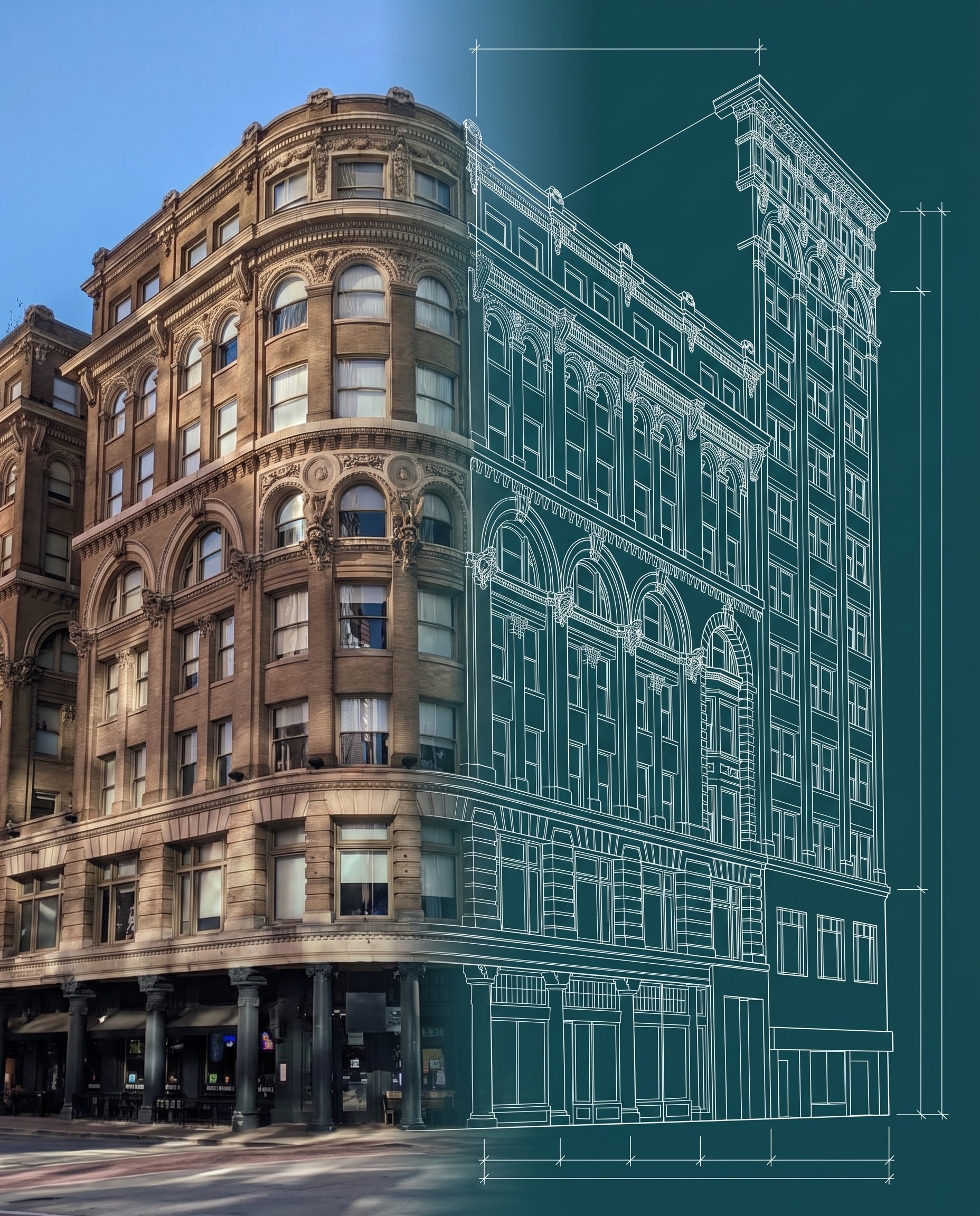
A historic Dallas building that turns into its as-built elevation drawing
  • ±5 mm verified
Our approach

LiDAR-verified documentation you can trust.

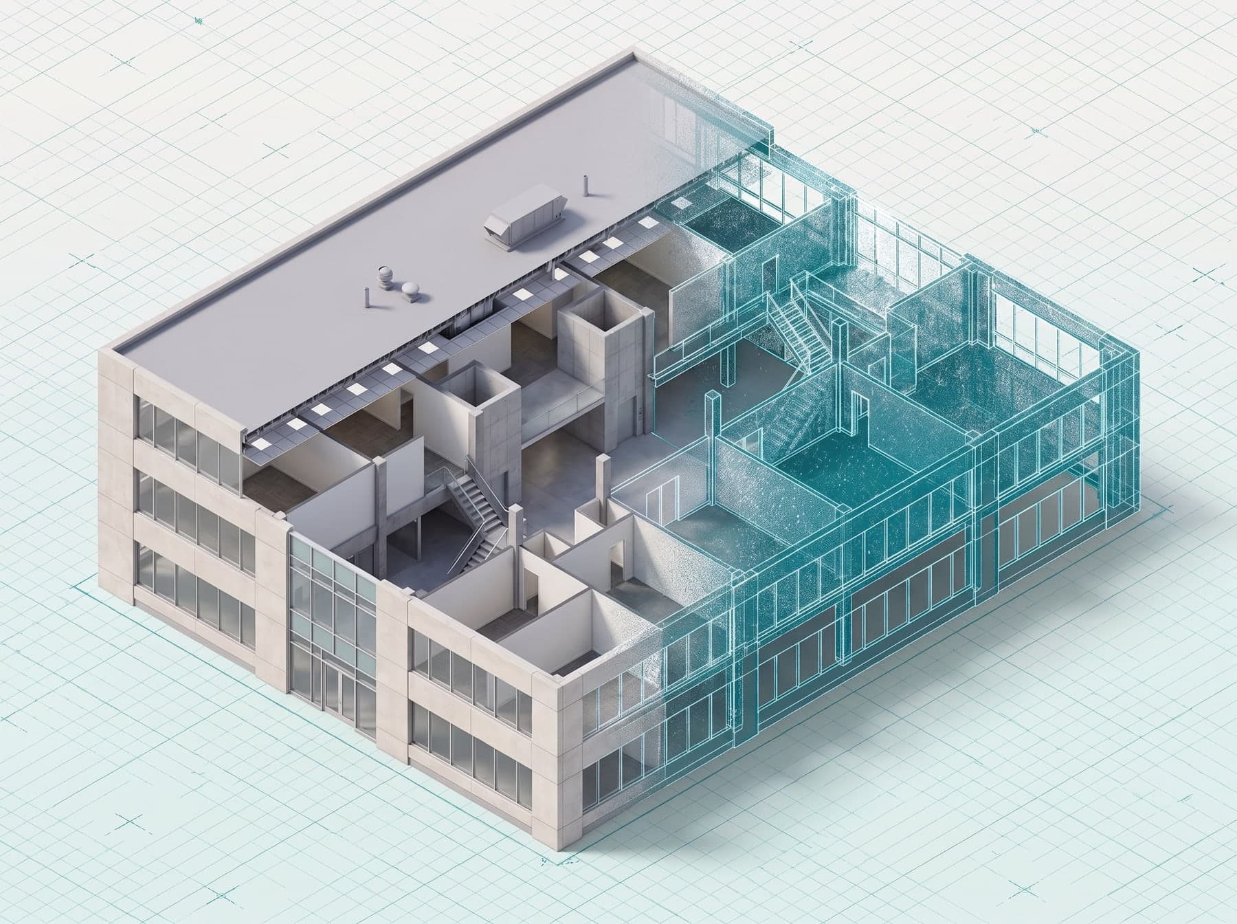
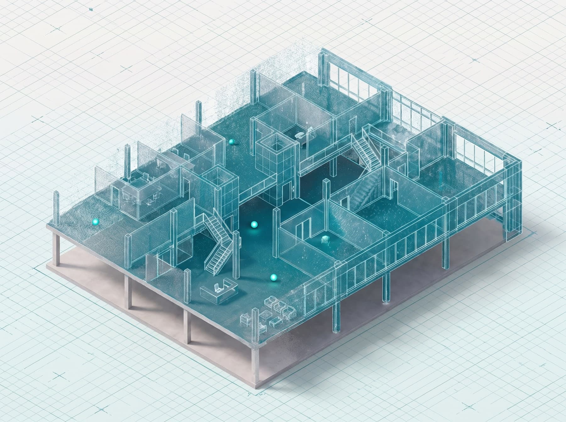
Hos-Scans captures existing conditions with advanced LiDAR scanning, then verifies and processes that data into deliverables your team can act on immediately.

Rather than handing you raw point clouds and wishing you luck, we deliver decision-ready documentation. Every scan goes through a strict quality-assurance process, so it meets as-built standards for accuracy, completeness and consistency before it reaches you.

  1. 01AccuracyVerified on site
  2. 02CompletenessChecked for gaps
  3. 03ConsistencySame standard, every job
Industries we serve

Every building type, 5M+ sq ft documented.

We deliver as-built documentation across commercial, industrial, healthcare and historic properties — and have documented over 5 million square feet to date.

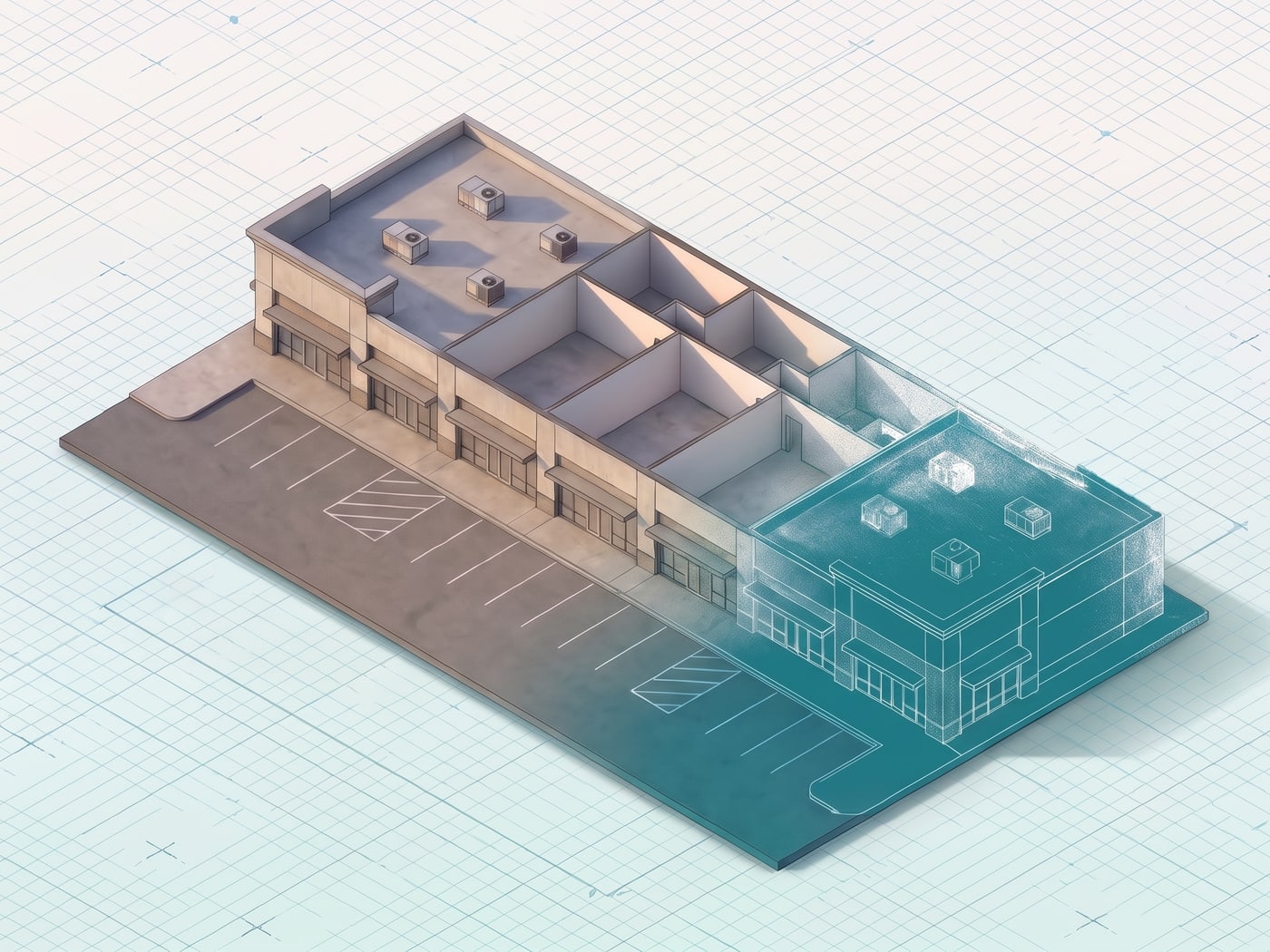
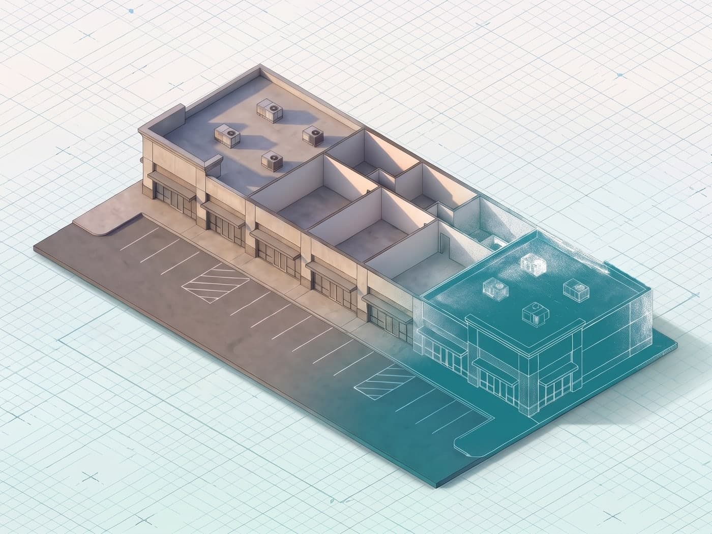
Strip retail centre and parking lot as a 3D scan model

Commercial real estate teams

Offices · retail · multi-tenant

Support for acquisitions, dispositions, tenant improvements and portfolio management.

  • Due diligence documentation
  • Square footage verification
  • Marketing-ready floor plans
  • Portfolio standardization
Historic mill mid-conversion as a 3D scan model

Construction & tenant improvement

Renovation · TI · design-build

Accurate baseline documentation for renovations, design-build coordination and field verification.

  • Existing-conditions baselines
  • Design-build coordination
  • Field verification
  • TI layout planning
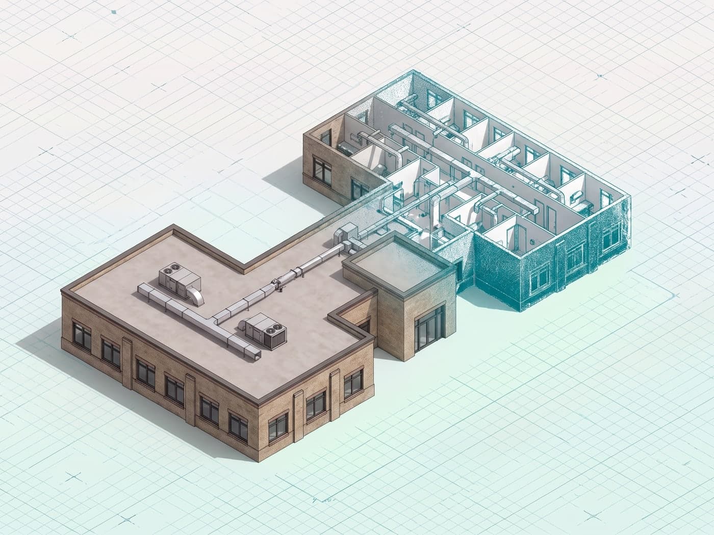
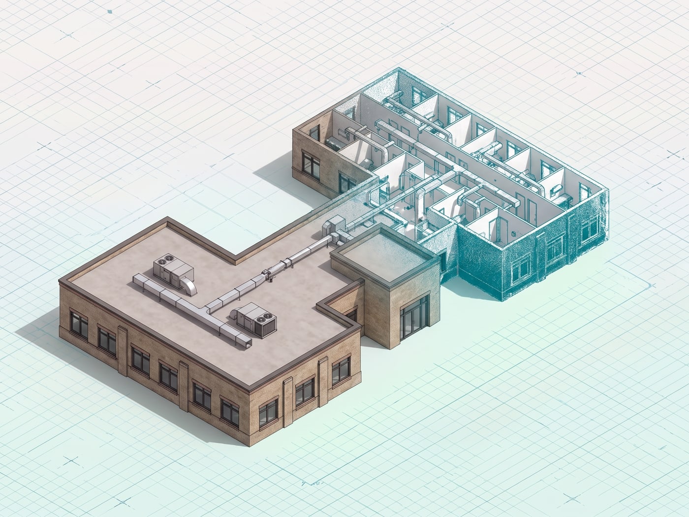
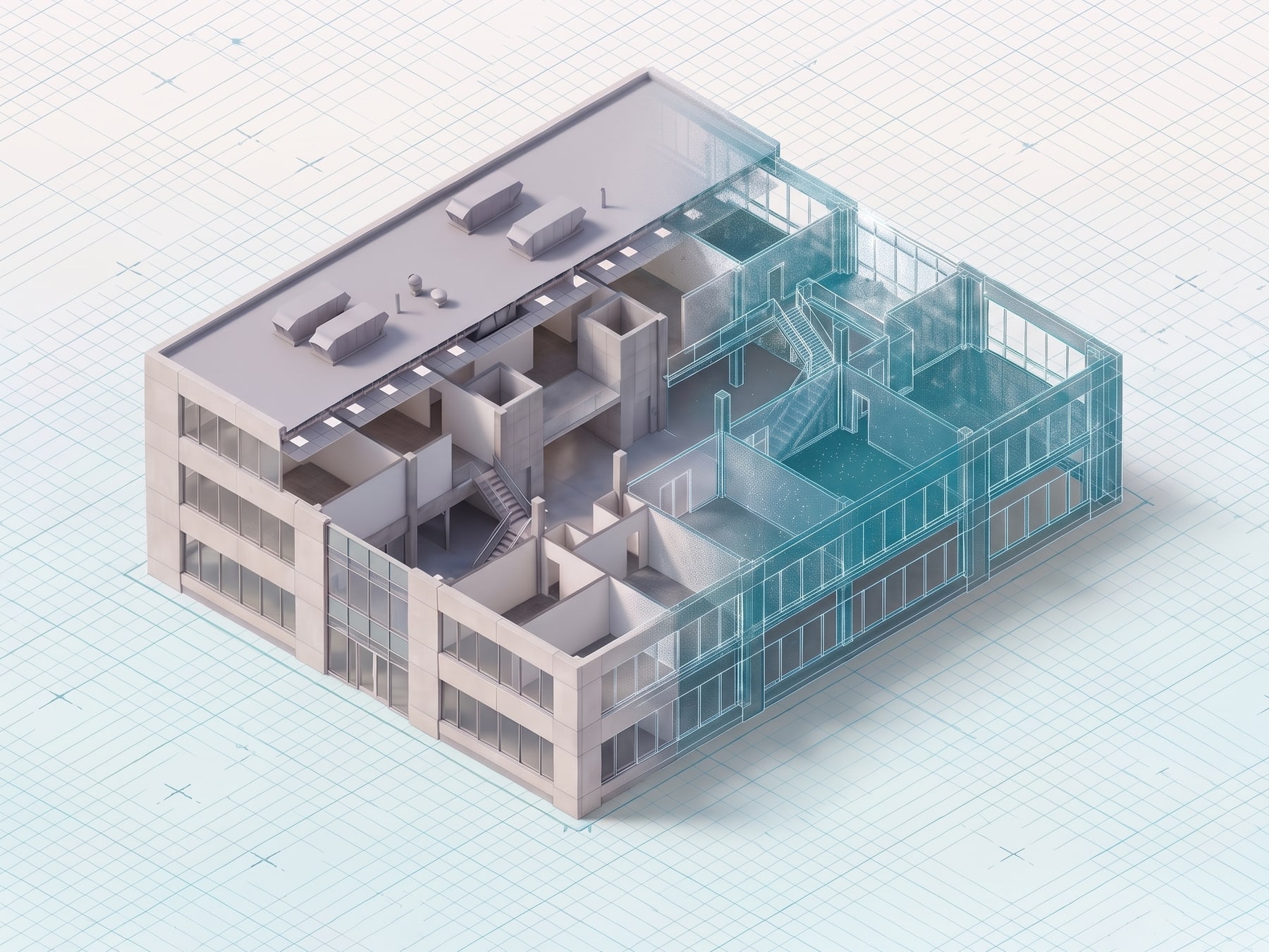
Medical office floor with ductwork as a 3D scan model

Healthcare facilities

Hospitals · clinics · medical offices

As-builts that keep hospitals and clinics in line with regulations and ready for renovation.

  • Facilities management
  • Renovation support
  • Room-by-room verification
  • ADA compliance support
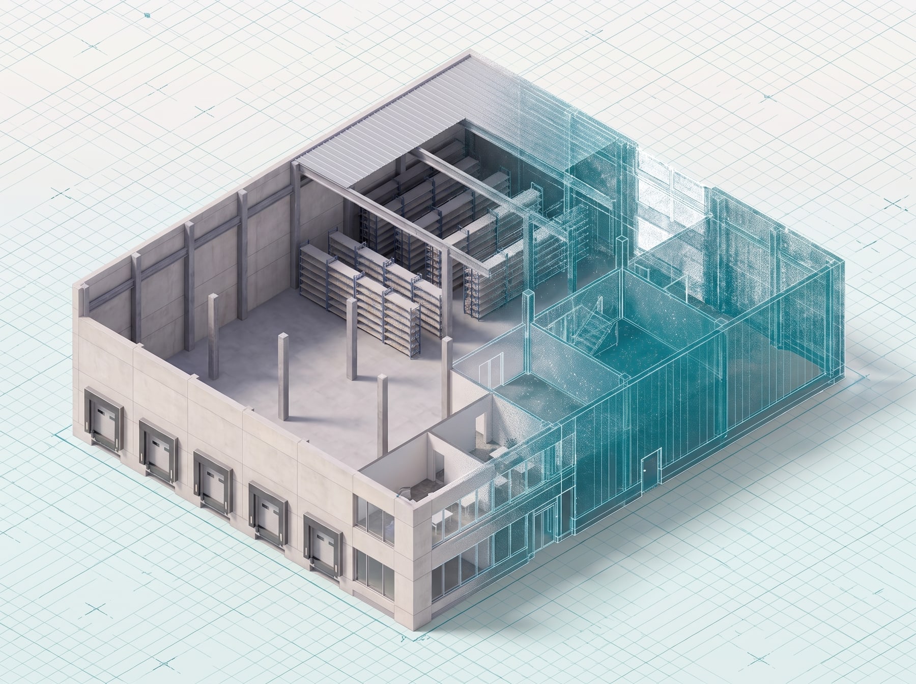
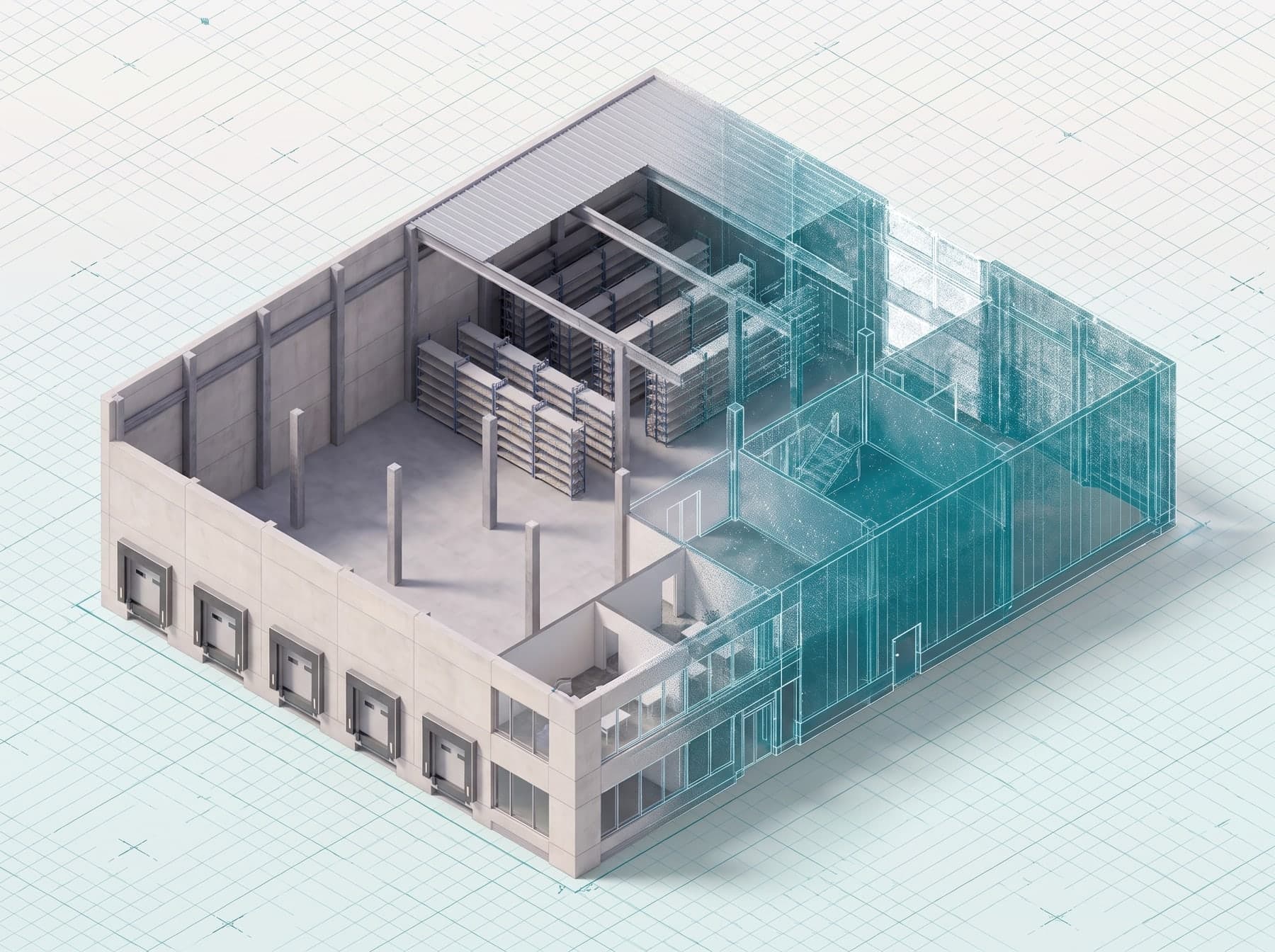
Warehouse with loading docks as a 3D scan model

Industrial & warehouse

Warehouses · plants · flex

Large footprints documented down to the smallest structural components.

  • High-bay scanning
  • Equipment placement
  • Clear height verification
  • Loading dock documentation
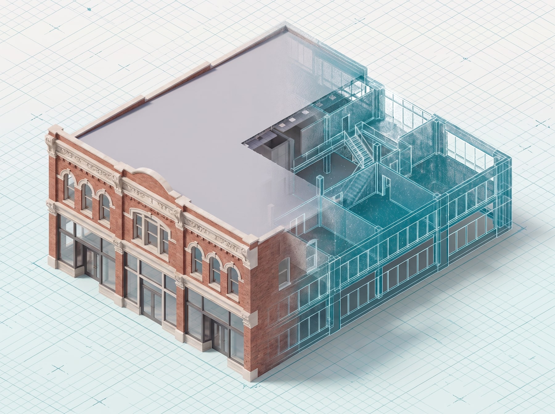
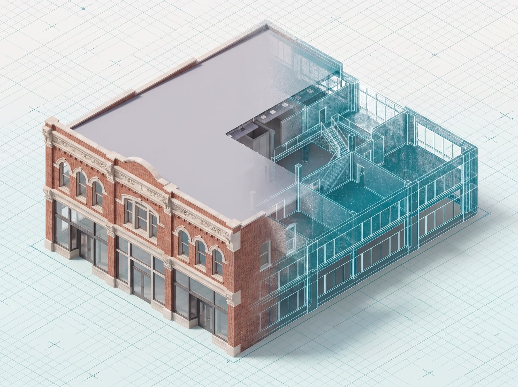
Historic brick storefront as a 3D scan model

Historic preservation

Landmarks · heritage · museums

Heritage buildings and landmarks captured in architectural detail for preservation planning.

  • Architectural detail capture
  • Preservation documentation
  • Grant application support
  • Historical archives
01 / 05
Our process

Designed for accuracy and efficiency.

Most projects are delivered in 5–10 business days, with expedited 24–72 hour delivery for urgent projects.

  1. 01

    Quote & scope

    We discuss your goals, required deliverables and timeline, then provide a clear quote with no hidden fees.

  2. 02

    Site scanning

    Our team arrives with NavVis and Leica equipment. Most spaces are scanned in a single visit, with no extended disruption.

  3. 03

    Processing & QC

    Captured data goes through quality control: we verify accuracy, check completeness and flag anything that needs a second look.

  4. 04

    Deliverable production

    We convert point clouds into your requested as-built drawings, models, measurements, virtual access — or a combination.

  5. 05

    Review & handoff

    We walk you through the deliverables, confirm they have the detail your project needs, and answer any questions.

Standard delivery: 5–10 business daysUrgent? Expedited 24–72 hour delivery.

Technology

Equipment that delivers results.

Professional-grade laser scanners trusted by surveyors, architects, engineers and contractors — capturing millions of points per second with millimeter-level accuracy.

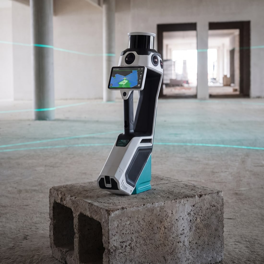
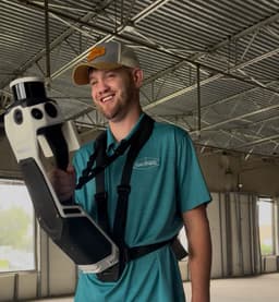
NavVis MLX mobile scanner in an unfinished commercial buildingMobile scanner

NavVis MLX

A mobile LiDAR mapping system that captures point cloud data and 360° panoramic imagery simultaneously — ideal for efficiently scanning large commercial spaces.

Capture
Mobile, walk-through
Coverage
Up to 300,000 sq ft / day
Imaging
Integrated panoramic cameras
Accuracy
±5 mm
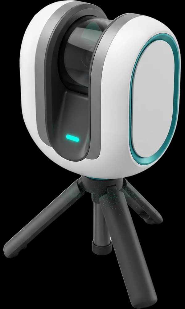
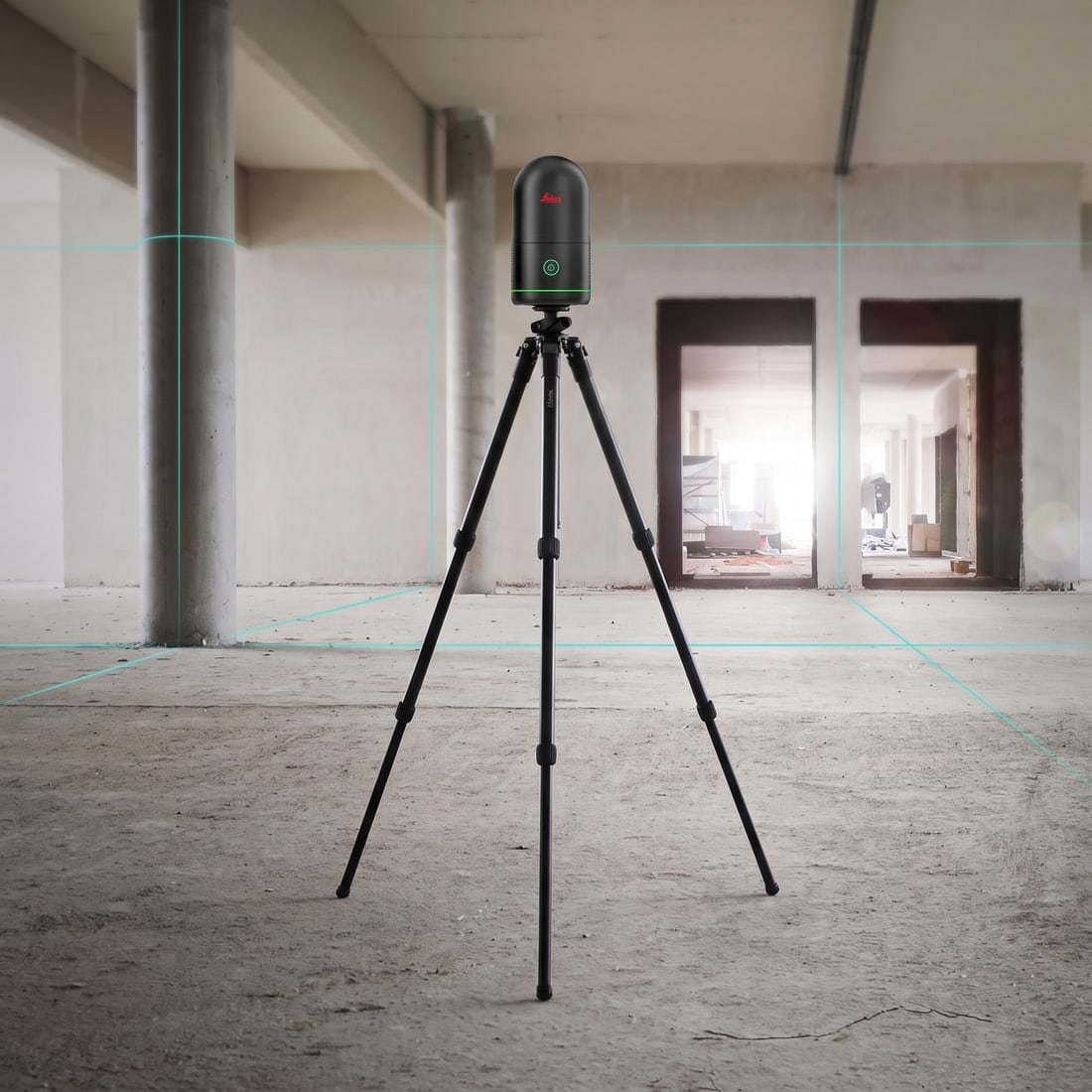
Leica BLK360 scanner on a tripod in an unfinished commercial buildingTerrestrial scanner

Leica BLK360

Our precision terrestrial scanner for detail-critical spaces — complex MEP environments, historic preservation and other high-precision work that needs full-dome imagery.

Capture
Static, tripod
Imaging
Full-dome HDR
Footprint
Compact, unobtrusive
Accuracy
±5 mm
01 / 02

Processing & delivery — in the order your data moves

01RegisterCyclone Register 360Point cloud processing
02ShareNavVis IVIONVirtual access
03DraftAutoCADDrawing production
04ModelRhino3D modeling
05RenderLumionRendering
01 / 05
FAQ

Questions teams ask before a scan.

Can’t find your answer? Talk to Tyler directly — you’ll get a straight answer from the person who’ll scan your building.

Talk to Tyler

Founder · answers every call

It depends on building size and complexity. As a reference, we can scan up to 300,000 sq ft in a single day, and we complete most commercial projects in one site visit.

No. Once we have site access, our team works independently and captures everything needed. You’ll have virtual access to review the space afterward.

Point clouds in .RCP, .E57, .LAS and .PLY, and drawings in .DWG (AutoCAD). We can accommodate other formats for your software.

All deliverables are verified to ±5 mm — survey-grade precision suitable for design, construction, renovation and legal documentation.

Standard turnaround is 5–10 business days from scan completion. Expedited 24–72 hour delivery is available for urgent projects at additional cost.

Yes — volume discounts for multi-site projects and portfolio documentation. Contact us for custom pricing on an ongoing relationship.

If you find deficiencies in deliverables relative to the agreed scope, we revise and correct them at no additional cost until requirements are met.

Members of & partners with

  • Wylie Historical SocietyWylie Historical Society
  • AIA Dallas Allied MemberAIA Dallas
  • Melissa Historical SocietyMelissa Historical Society
  • Historical Hos-Scans — preserving the past through precisionHistorical Hos-Scans
  • Space Planning SpecialistsSpace Planning Specialists